Drone Photography
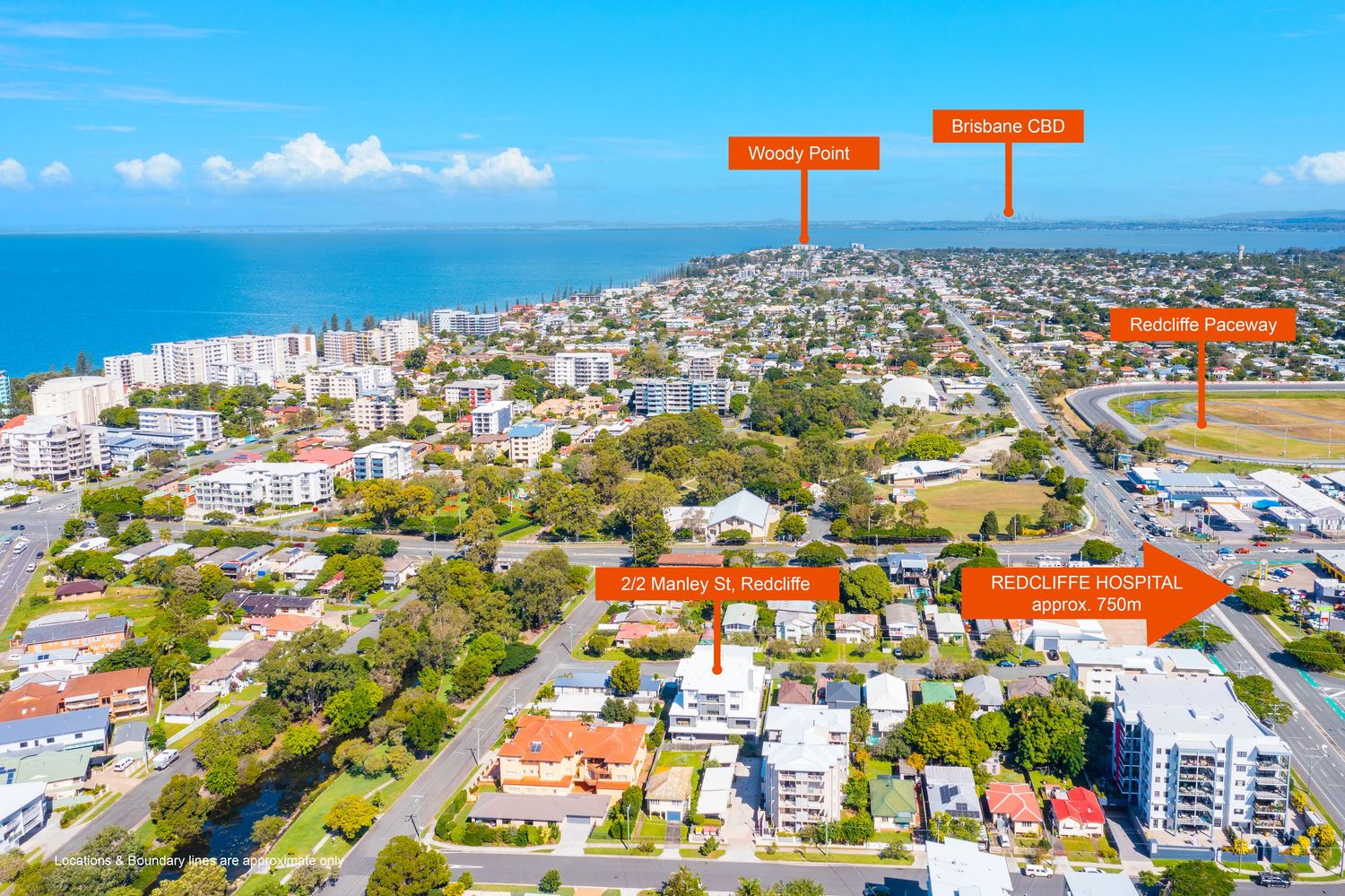
Aerial view of Redcliffe suburb showing Stanley St property near Redcliffe Hospital, Bribie Island CBD, and Woody Point.
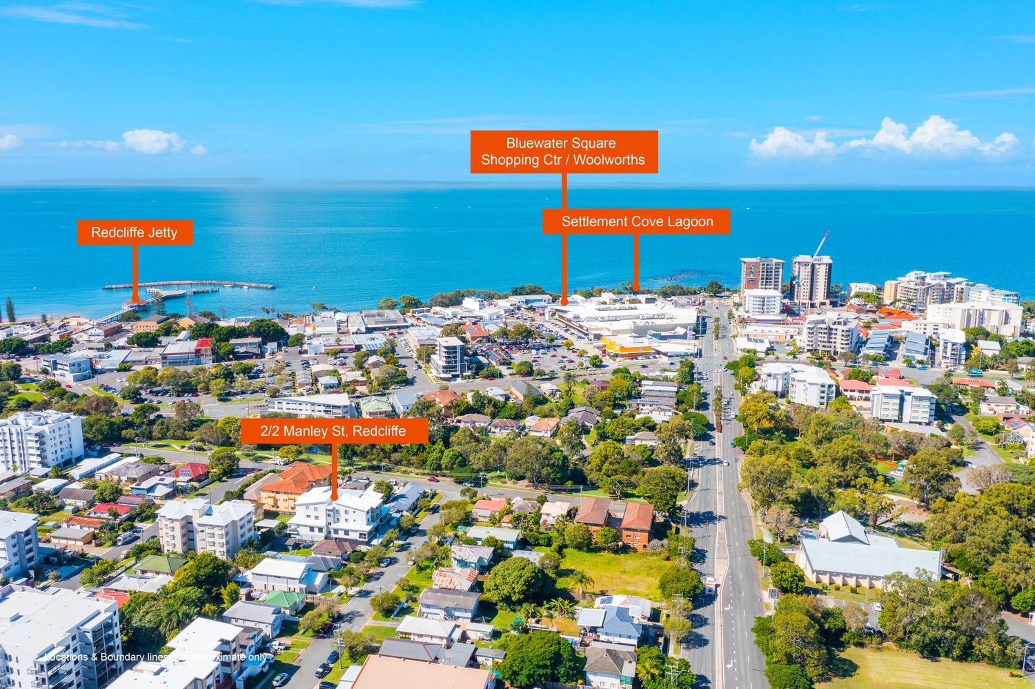
Aerial view of Redcliffe property near Suttons Beach Jetty, Settlement Cove Lagoon, and Scarborough Square Shopping Centre.
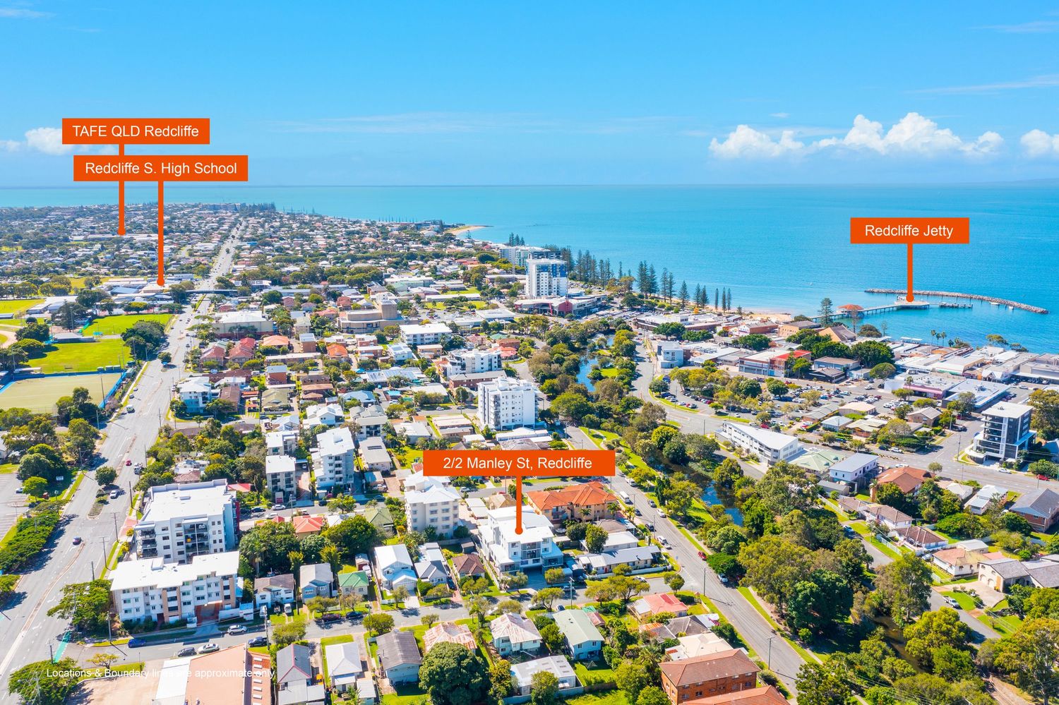
Aerial view of Harvey St Redcliffe near Redcliffe Jetty, TAFE QLD, and Redcliffe State High School.
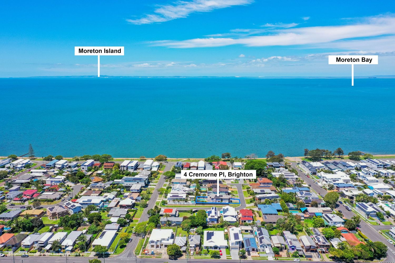
Aerial view of Brighton suburb with Moreton Island and Moreton Bay visible beyond coastal residential streets.
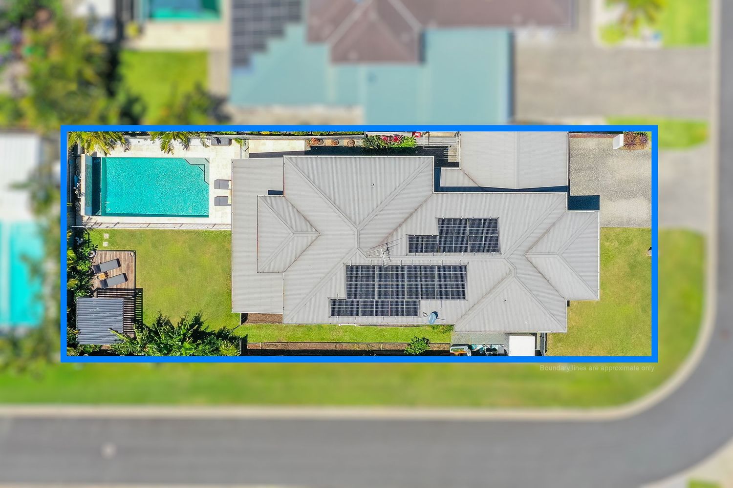
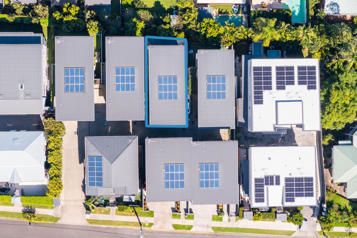
Aerial top-down view of a modern home with solar panels, pool, and blue boundary outline on a corner lot.
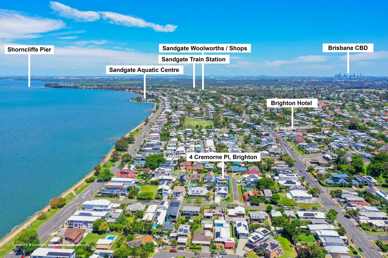
Aerial view of Brighton suburb near Sandgate showing shops, train station, aquatic centre, and Brisbane CBD.
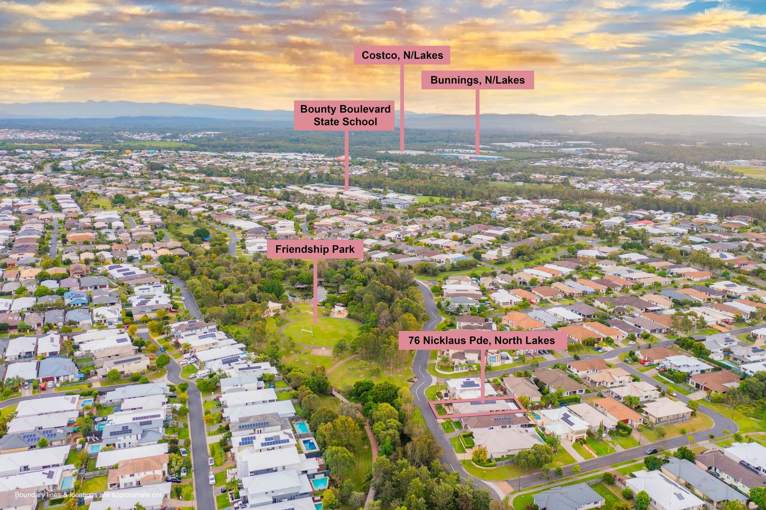
Aerial view of North Lakes suburb showing Friendship Park, Bounty Boulevard State School, Costco, and Bunnings nearby.
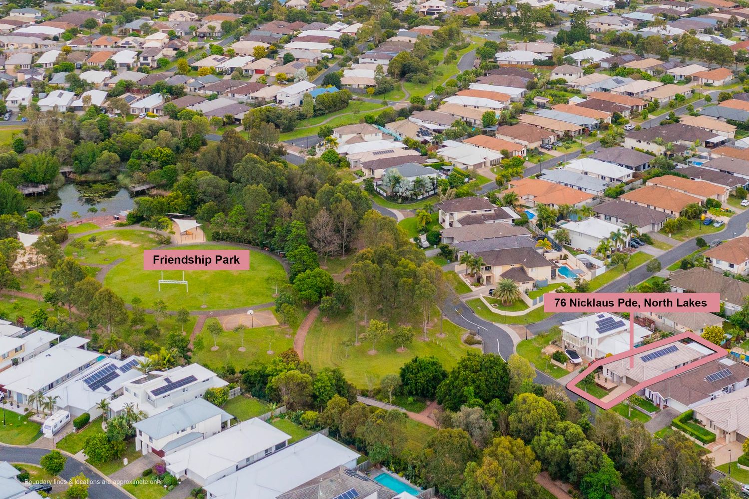
Aerial drone view of North Lakes residential area highlighting Friendship Park and 76 Nicklaus Place property location.
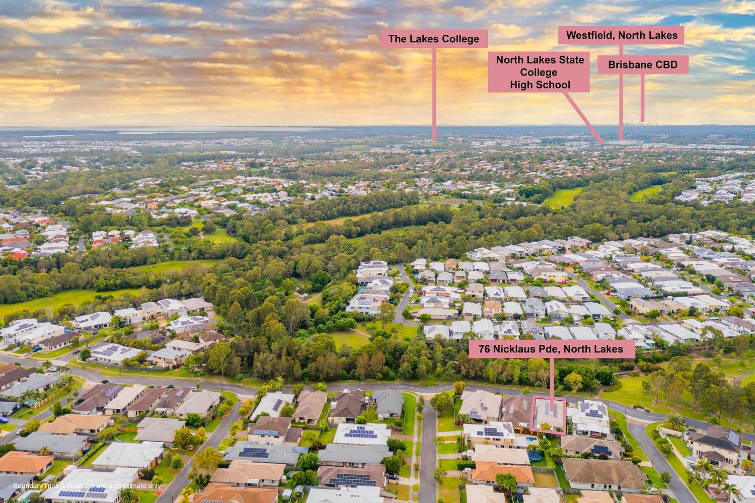
Aerial view of North Lakes showing proximity to North Lakes College, State College High School, Westfield, and Brisbane CBD.
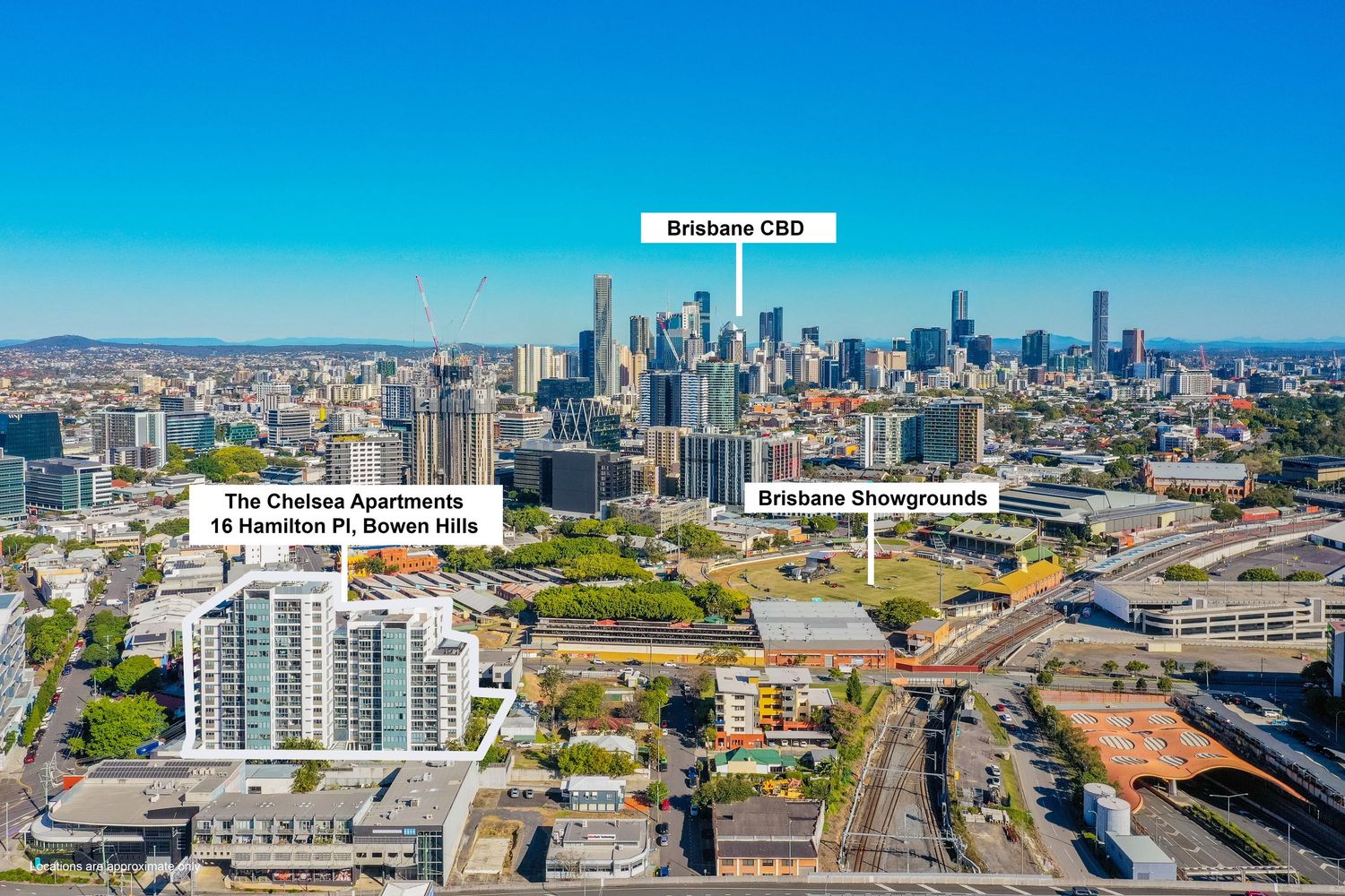
Aerial view of Bowen Hills with The Chelsea Apartments, Brisbane CBD skyline, and Showgrounds visible.
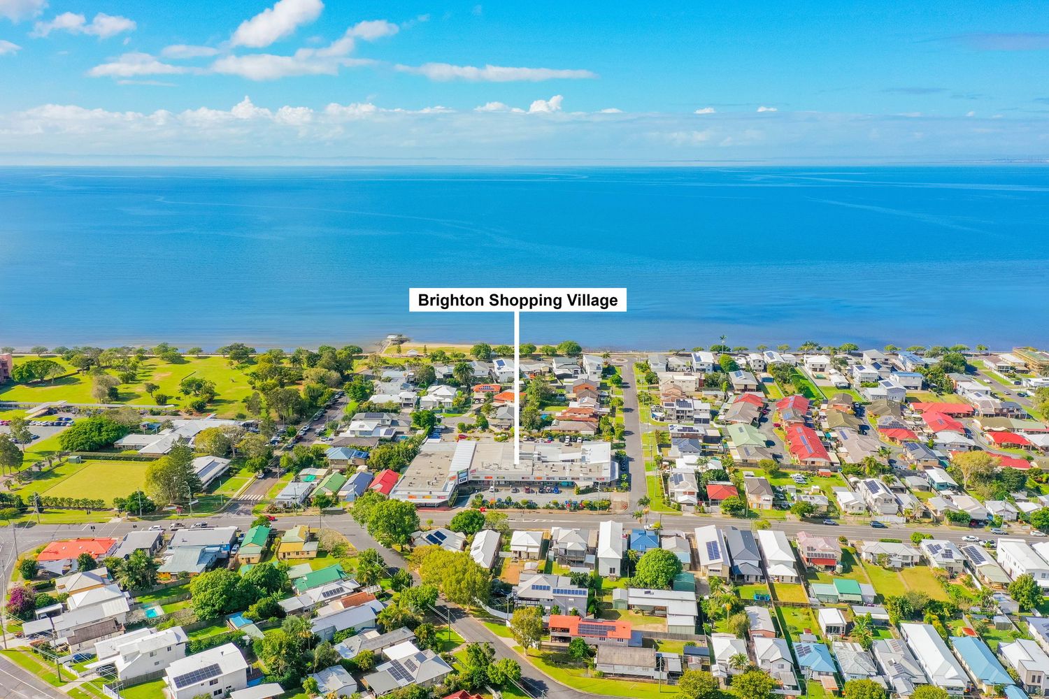
Aerial coastal view of Brighton suburb with Brighton Shopping Village landmark and calm bay waters beyond.
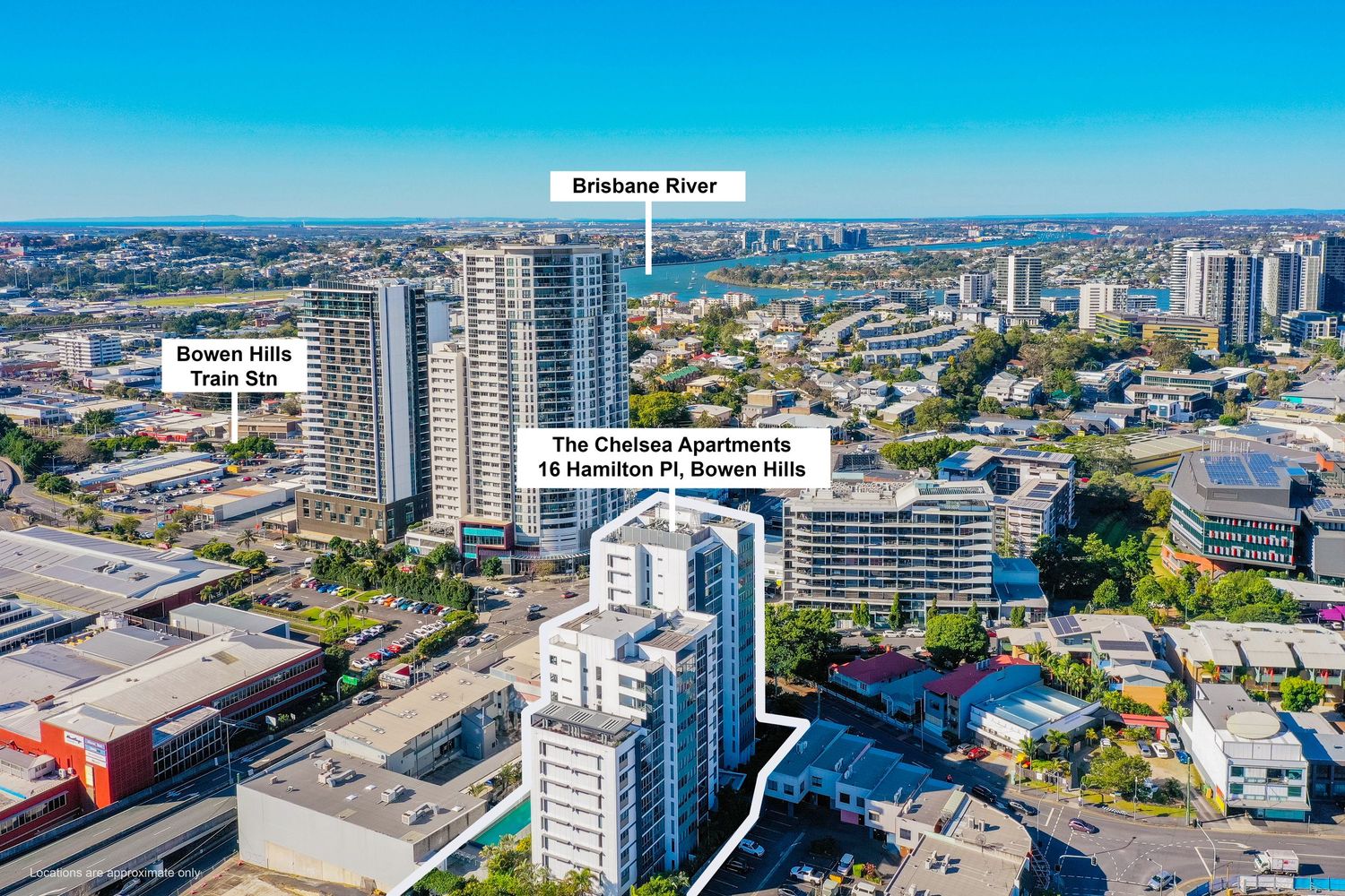
Aerial view of The Chelsea Apartments at 15 Hamilton Pl, Bowen Hills with Brisbane River and CBD backdrop.
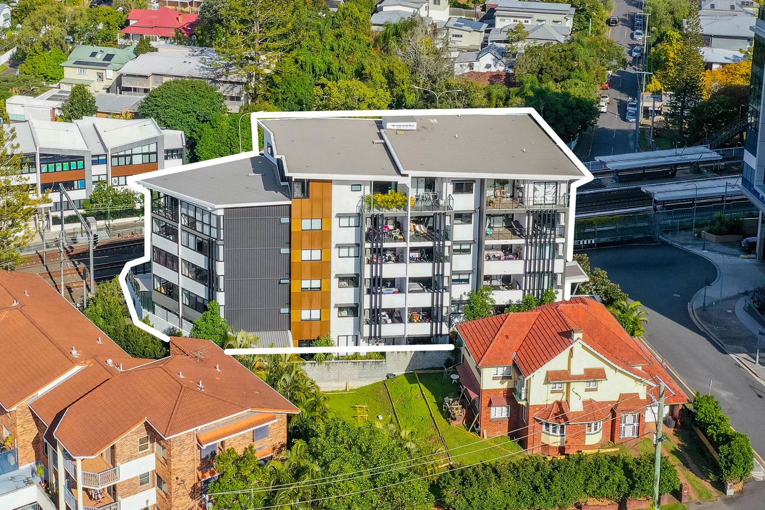
Aerial view of a modern six-storey apartment building surrounded by leafy Brisbane suburban streets.
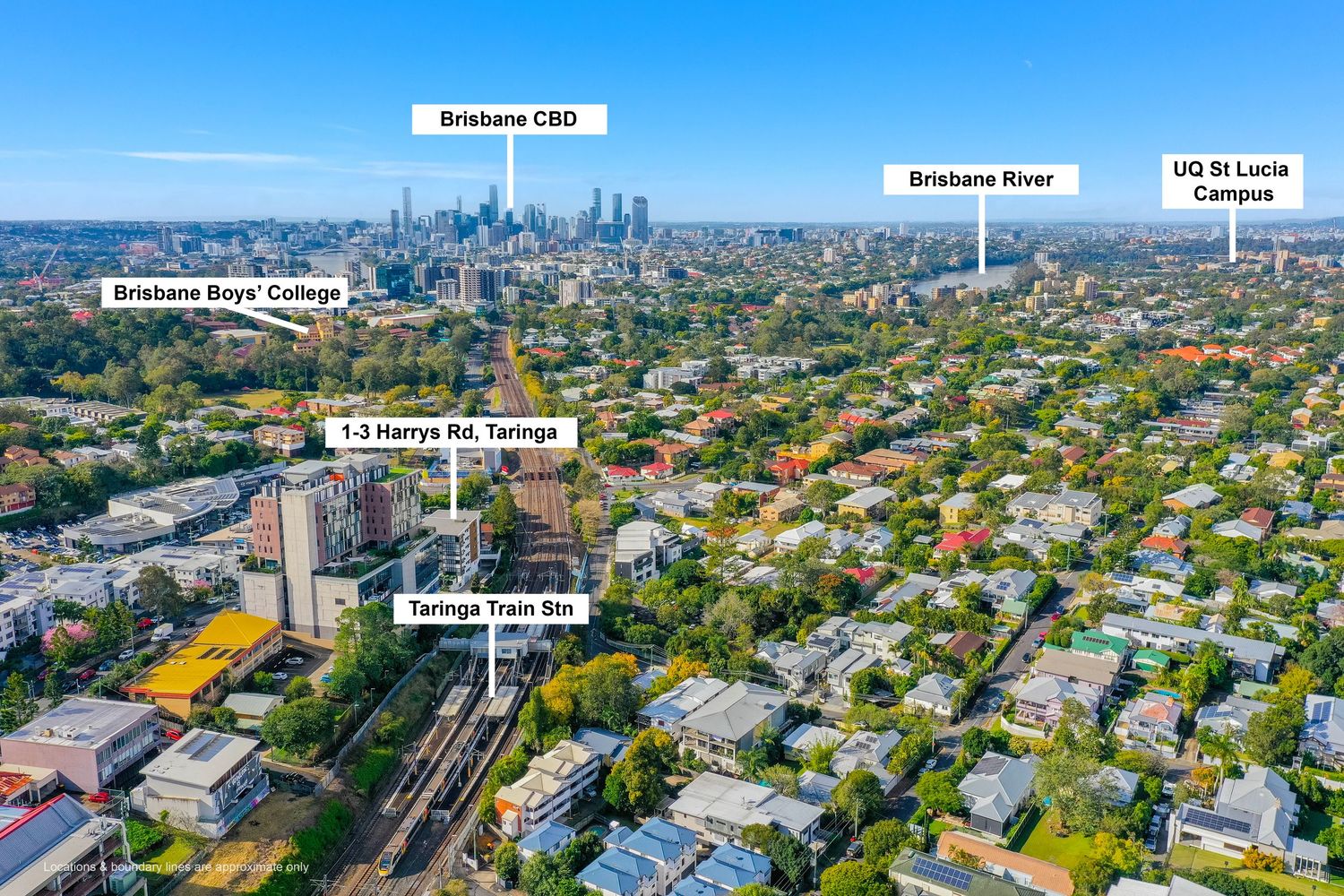
Aerial view of Taringa suburb showing train station, Brisbane CBD, Brisbane River, and UQ St Lucia campus.
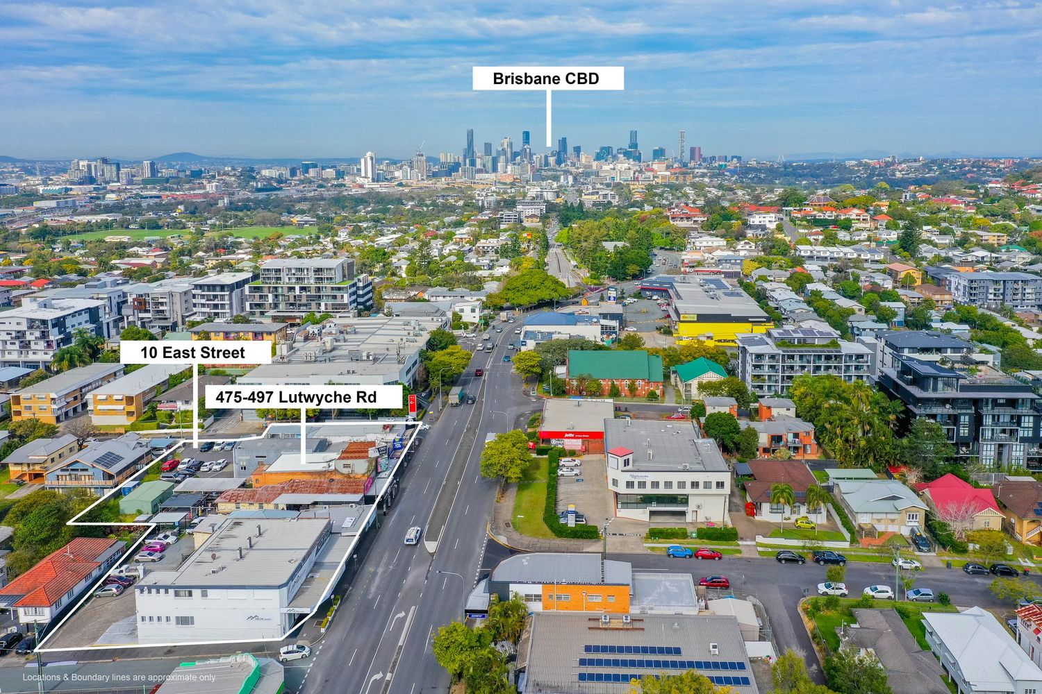
Aerial view of Lutwyche Road and East Street intersection with Brisbane CBD skyline in the background.
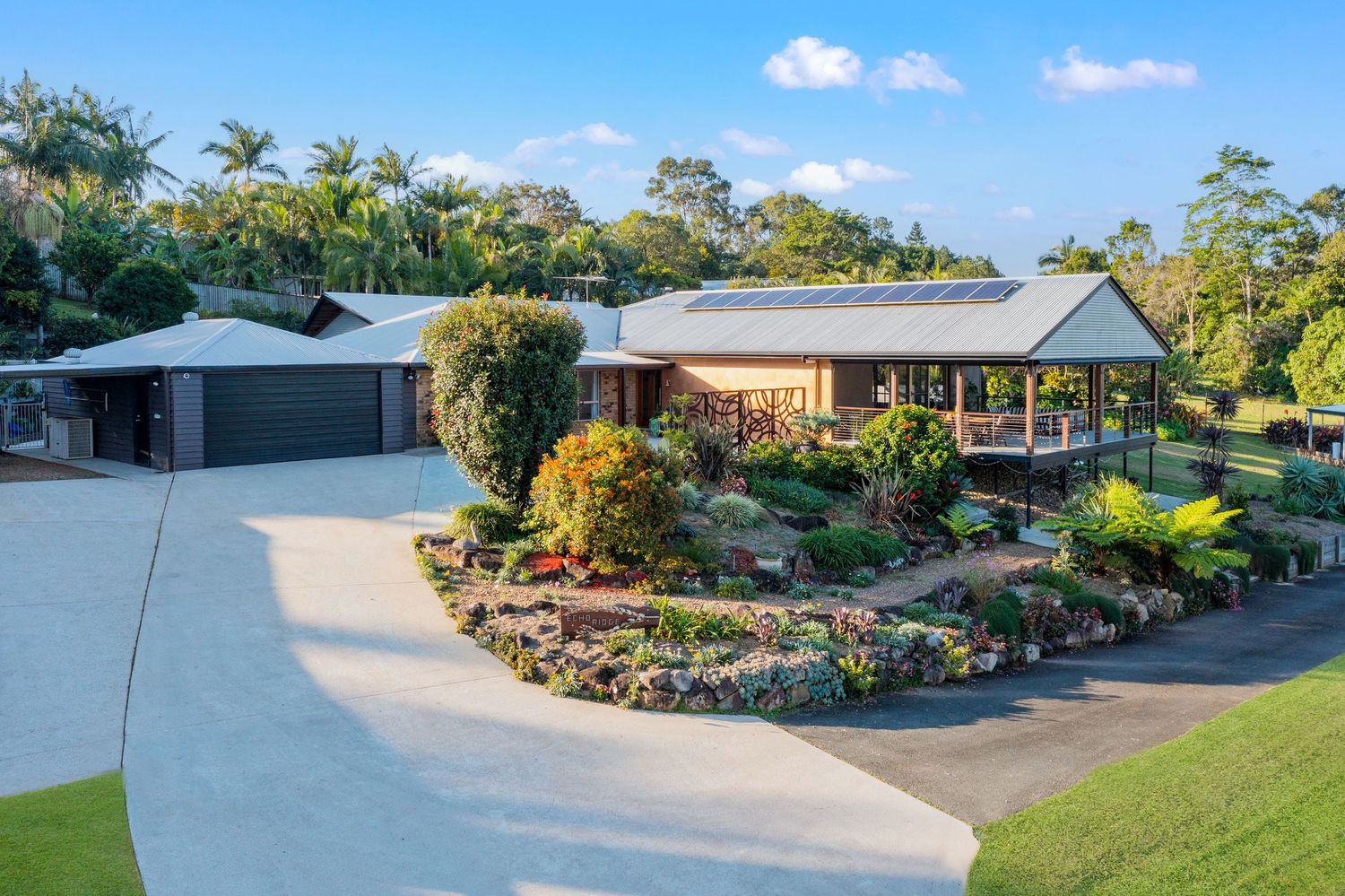
Aerial view of a spacious Australian home with curved driveway, lush tropical gardens, and a covered entertaining area.
Top-down aerial view of suburban homes with solar panels installed on rooftops in an Australian neighborhood.
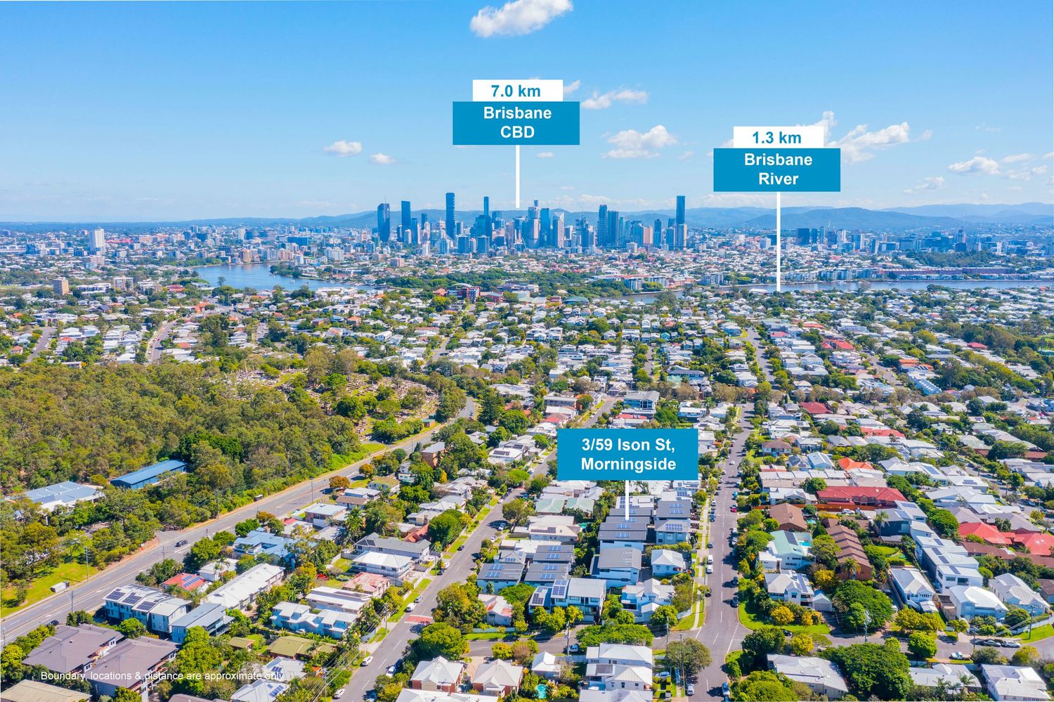
Aerial view of Morningside suburb showing 7.6km distance to Brisbane CBD and 1.2km to Brisbane River.
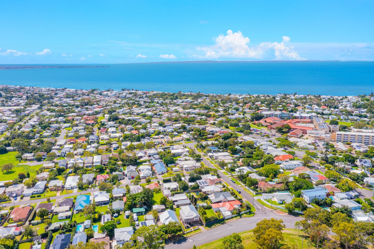
Aerial view of a coastal Australian suburb with ocean views, green parks, and residential streets near the beach.
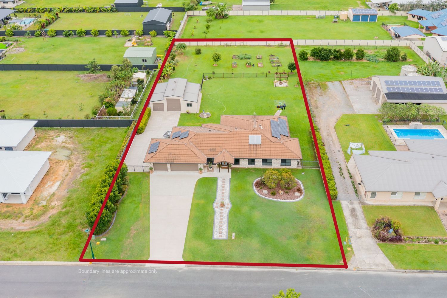
Aerial view of a large rural property outlined in red with a brick home, pool, and spacious green lawns.
Aerial view of a beachside Australian suburb with highlighted property lot near the ocean and local amenities.
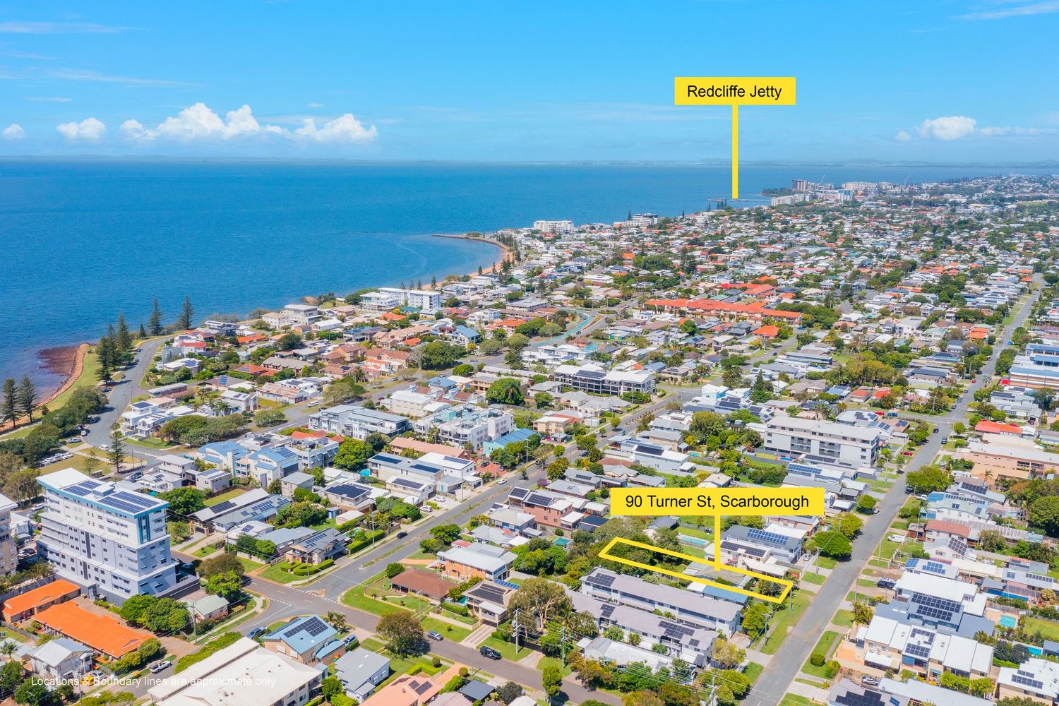
Aerial view of Scarborough suburb near Redcliffe Jetty, highlighting a Turner Street property close to the waterfront.
Aerial view of a suburban Queensland town with mountain peaks visible on the horizon under a clear blue sky.
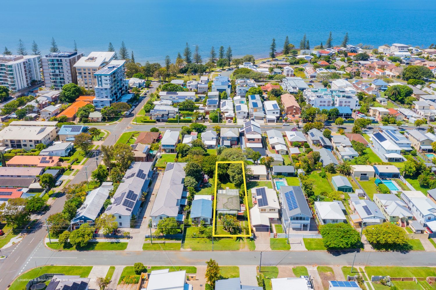
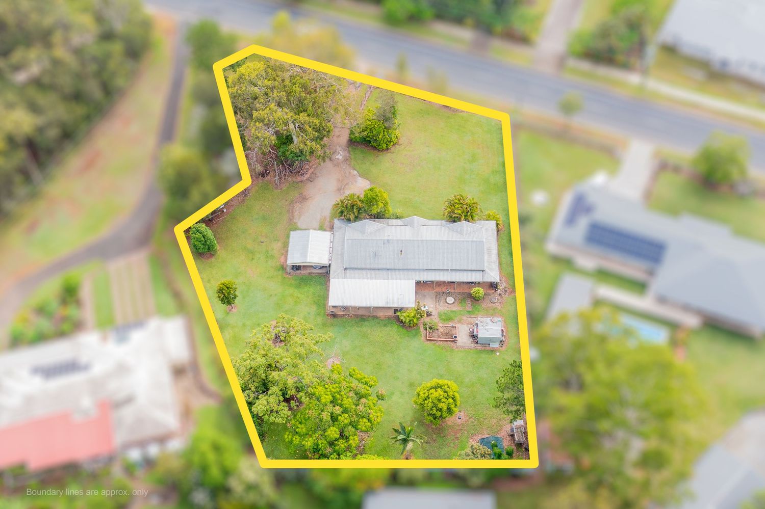
Aerial view of a single-story home on a large green block with property boundaries highlighted in yellow.
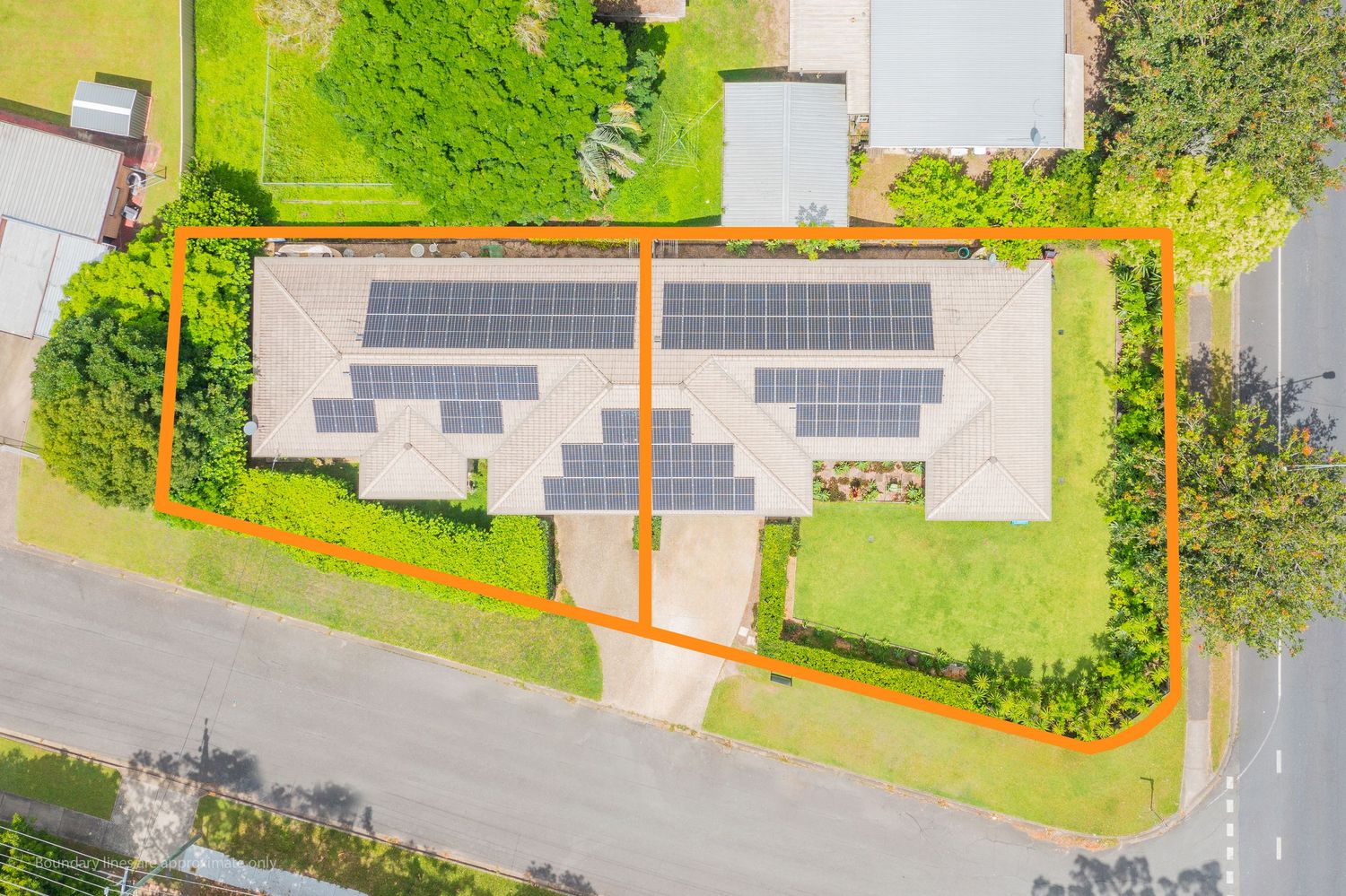
Aerial view of a property with solar panels on the roof, outlined in orange, beside a quiet suburban road.
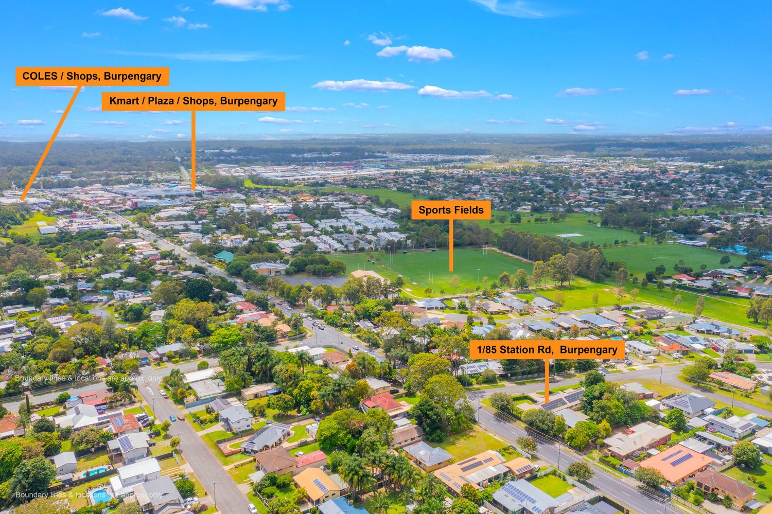
Aerial view of a Burpengary suburb highlighting nearby amenities including Coles shops and sports fields.
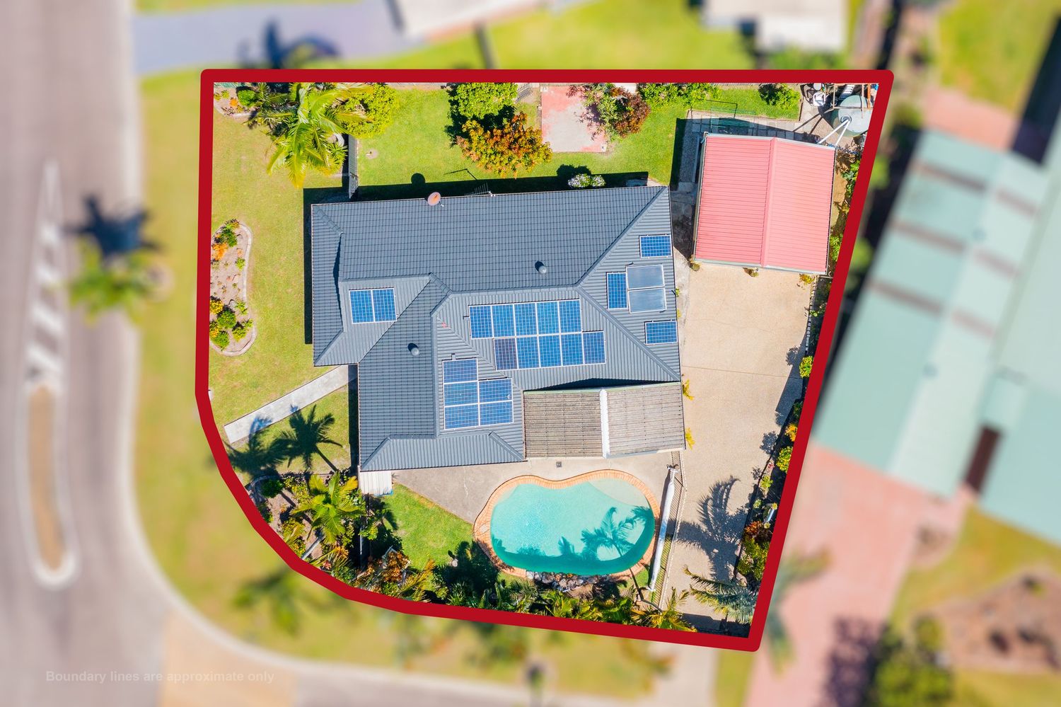
Aerial view of a house with a pool and solar panels, property boundary outlined in red, in a suburban area.
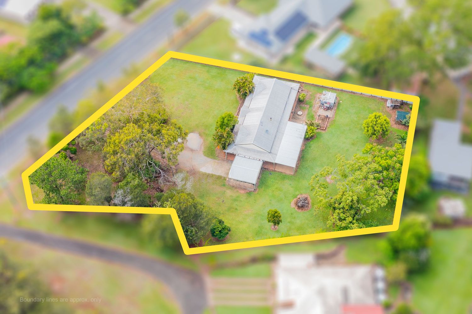
Aerial view of a single-story home on a spacious green lot with property boundaries marked in yellow.
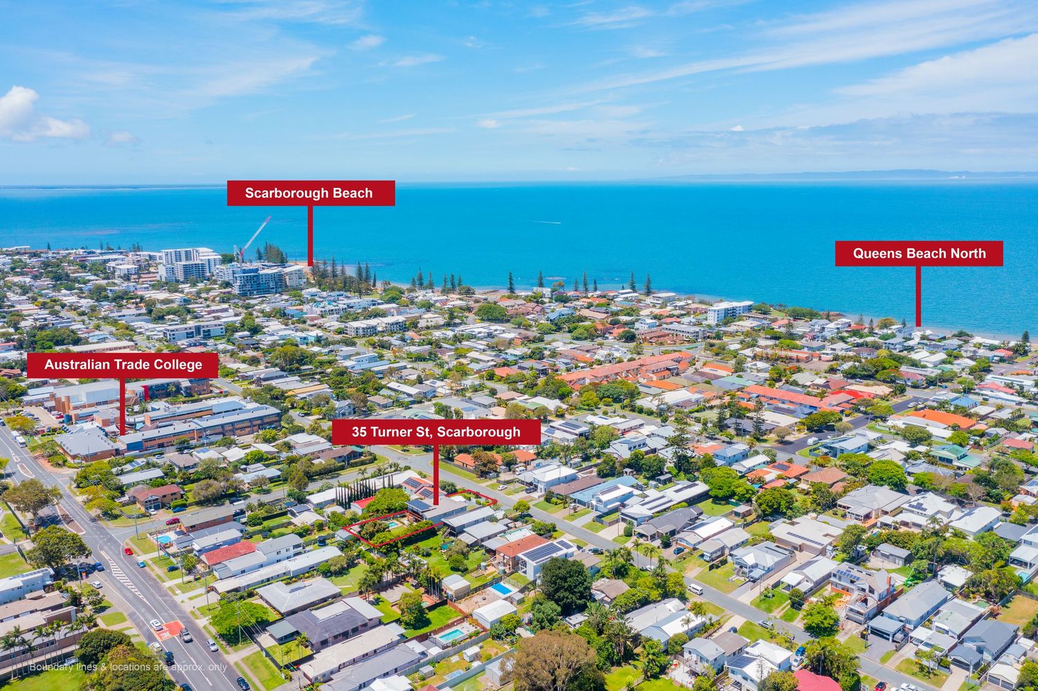
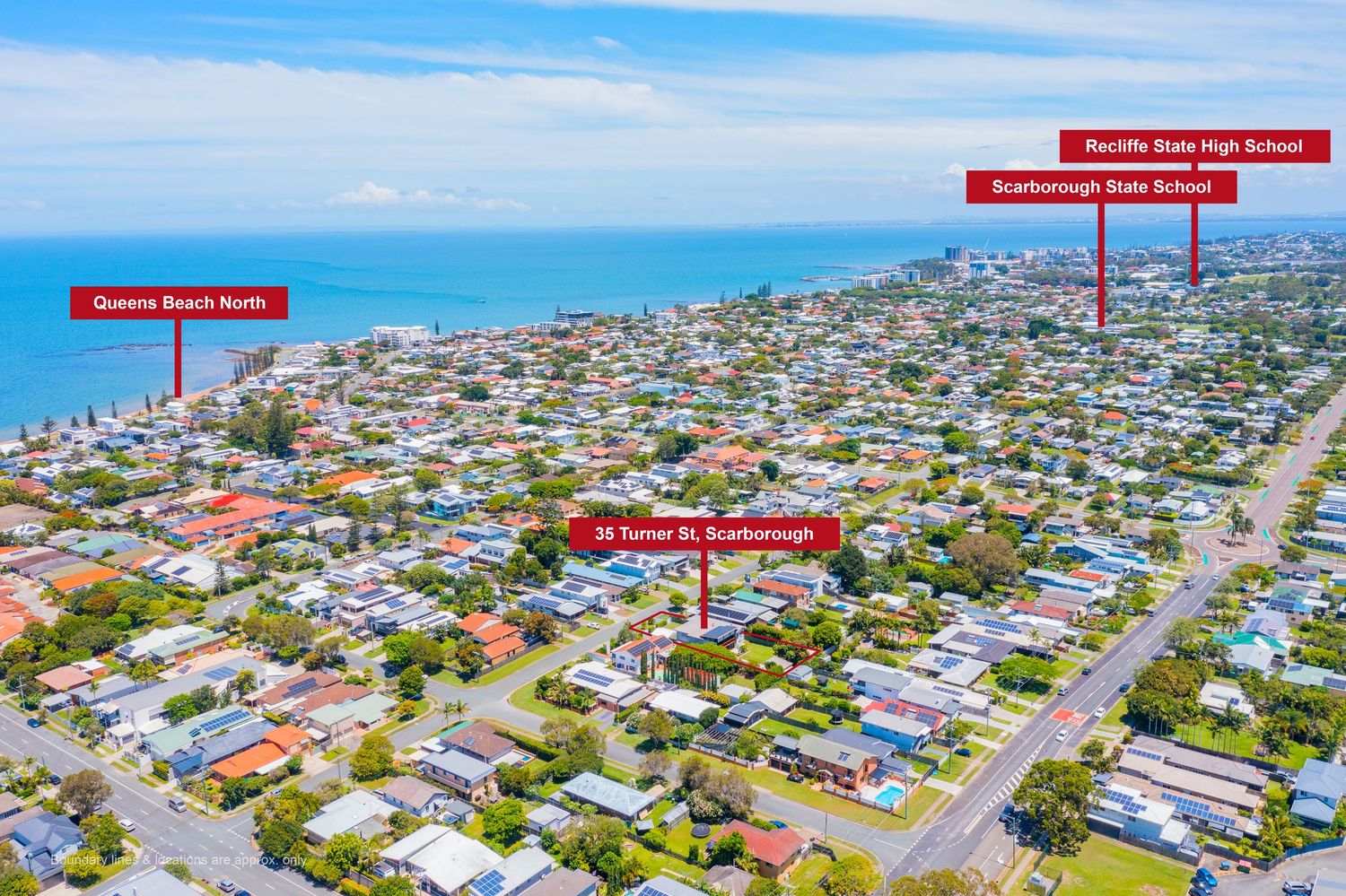
Aerial view of Scarborough suburb showing proximity to Scarborough Beach and Queens Beach North coastline.
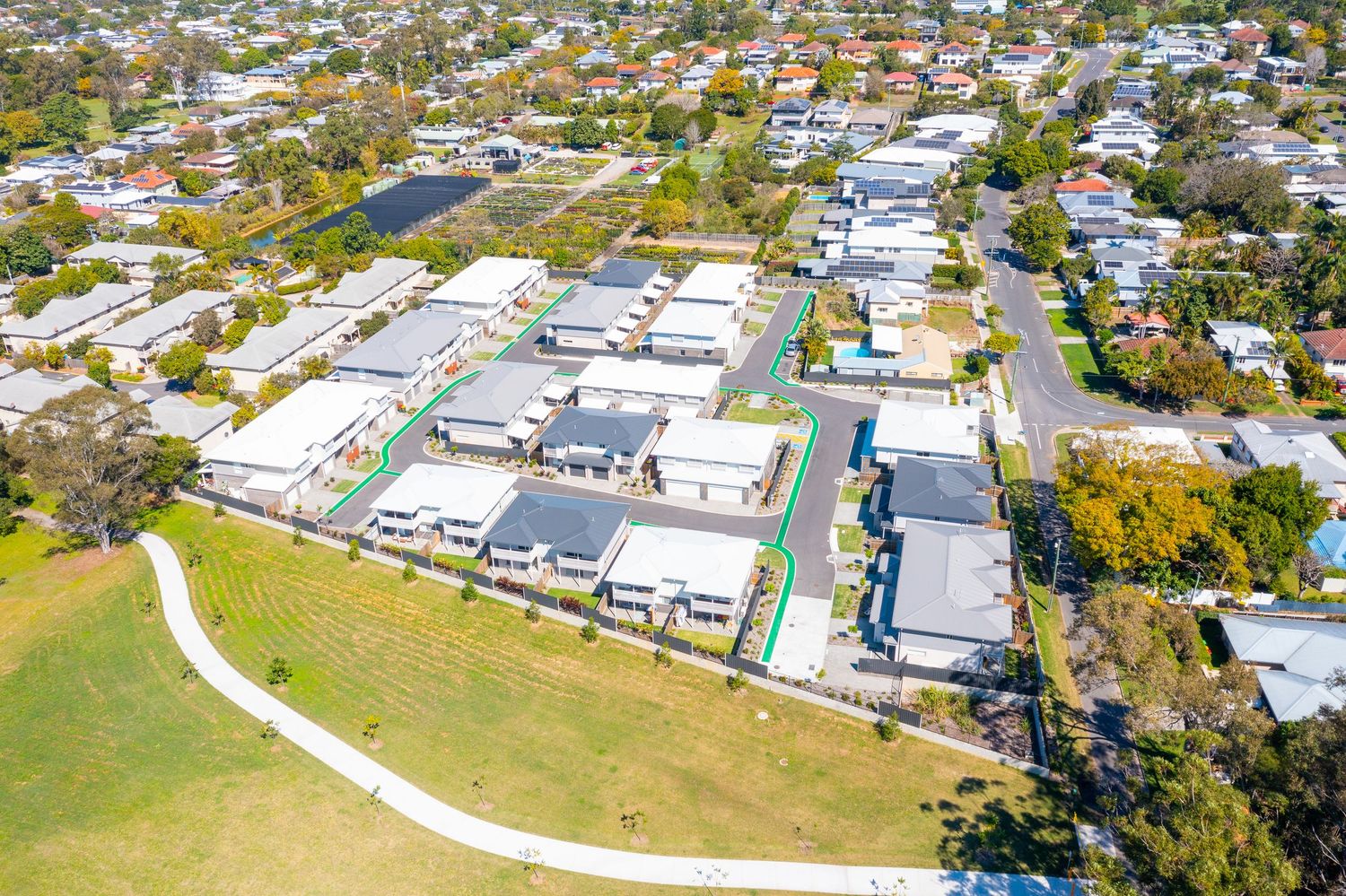
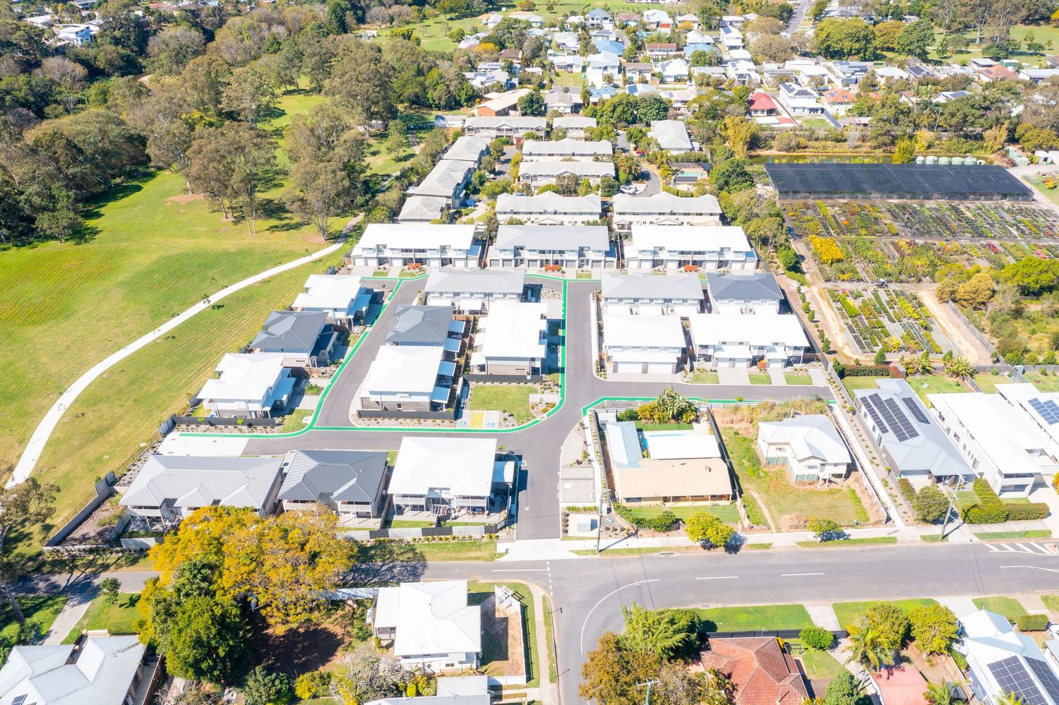
Aerial view of a modern residential development beside a green park in a suburban Queensland neighborhood.
Aerial view of Scarborough suburb highlighting Turner St property near Queens Beach and local schools.
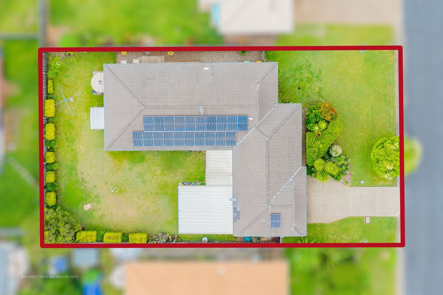
Aerial view of a home with solar panels on a suburban block with red boundary lines marking the property.
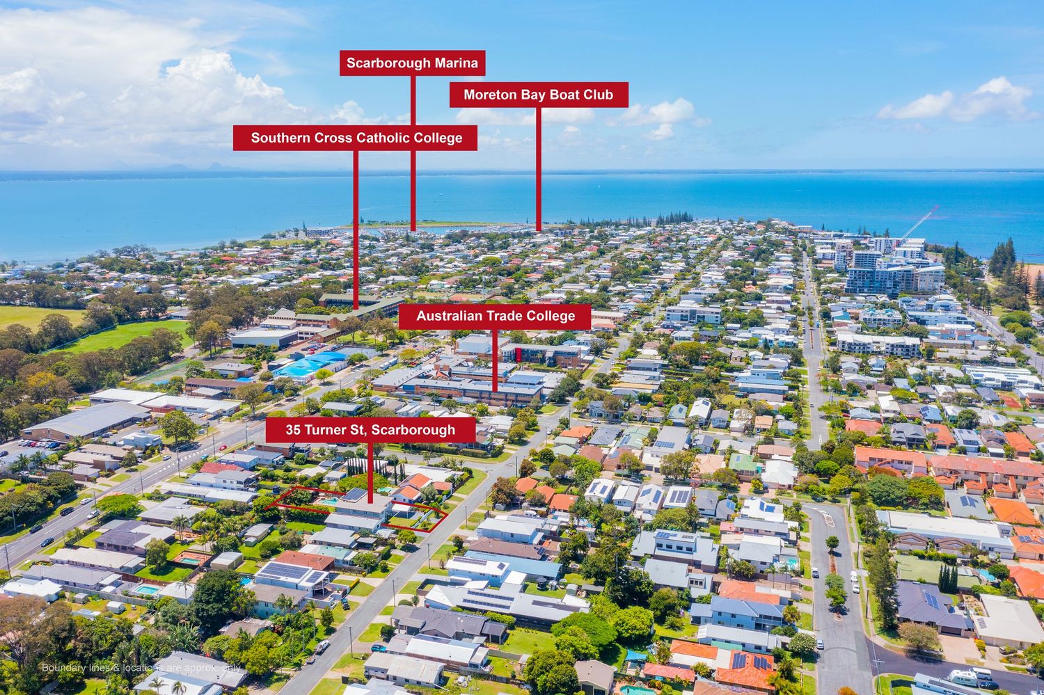
Aerial view of Scarborough coastal suburb showing Southern Cross Catholic College, Australian Trade College, and Moreton Bay Boat Club.
Aerial view of a modern residential development with multiple homes, green spaces, and solar panels in a suburban Queensland area.
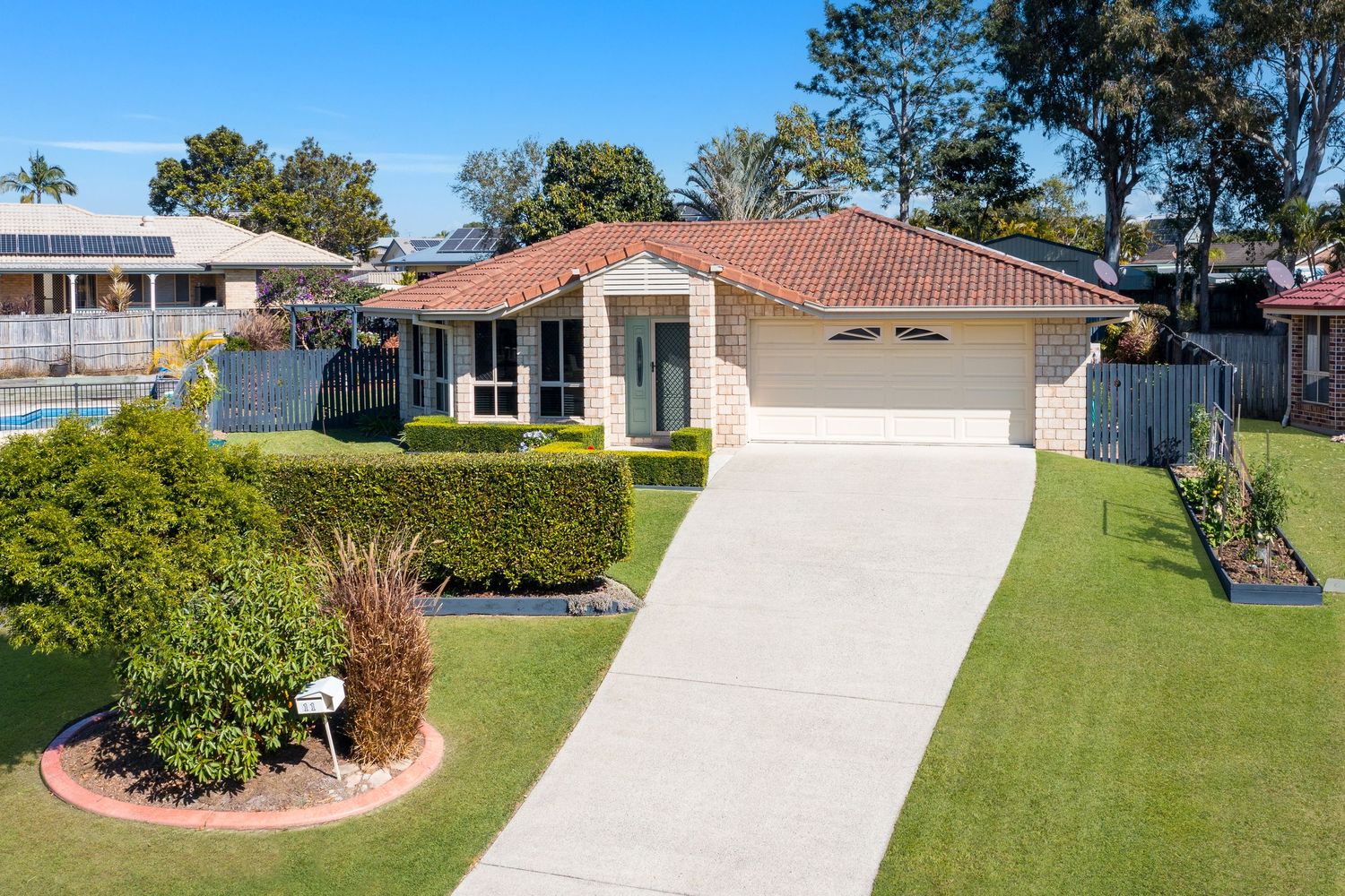
Neat brick home with terracotta roof, double garage, manicured lawn, and hedged garden in a quiet suburban street.
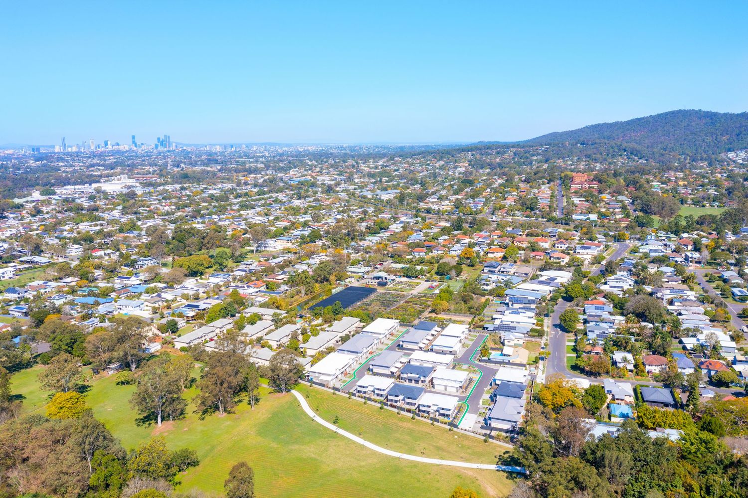
Aerial view of a Brisbane suburb featuring a residential complex, lush parklands, and city skyline in the background.
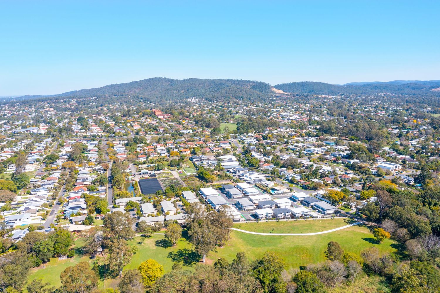
Aerial view of a leafy Brisbane suburb with a residential complex, green oval, and mountain ranges in the background.
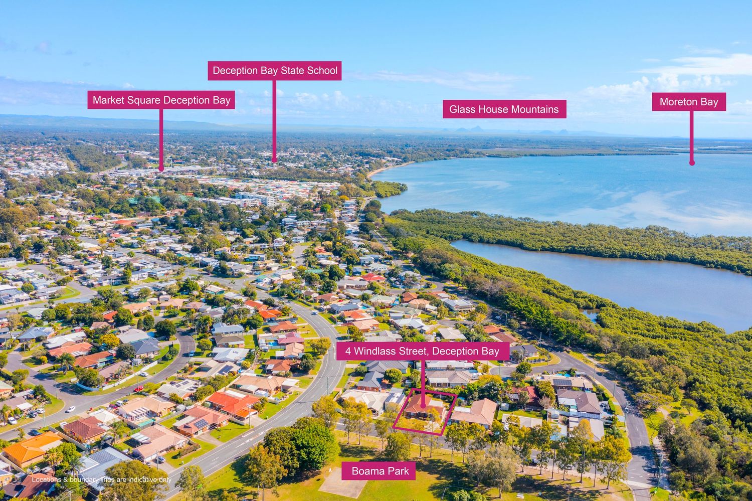
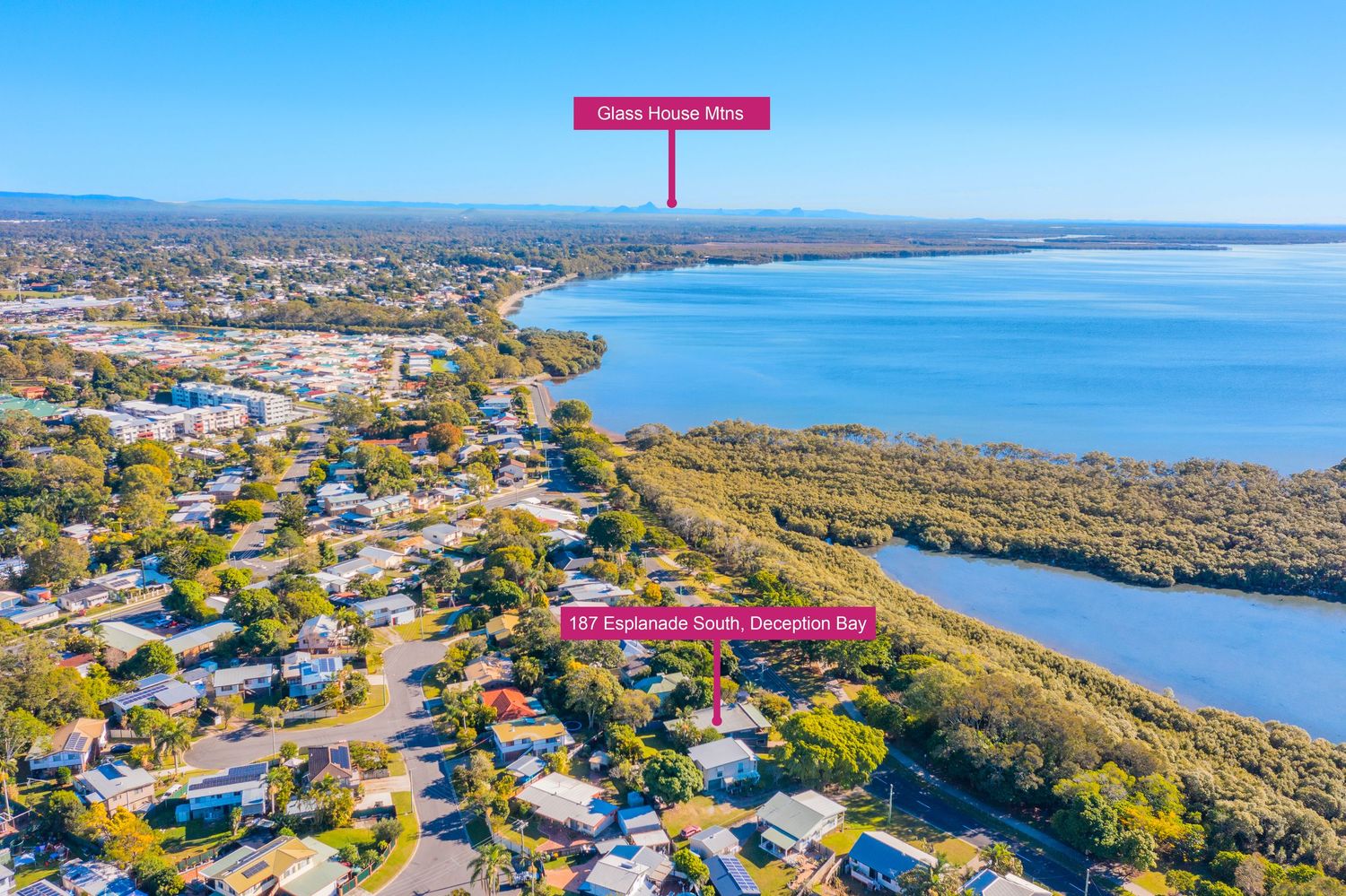
Aerial view of Deception Bay showing Deception Bay State School, Market Square, Glass House Mountains, and Moreton Bay.
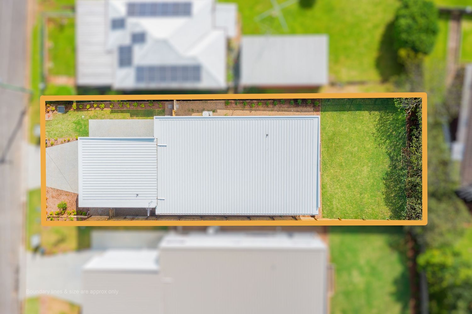
Overhead aerial view of a rectangular residential property with a metal roof home and large backyard, outlined in orange.
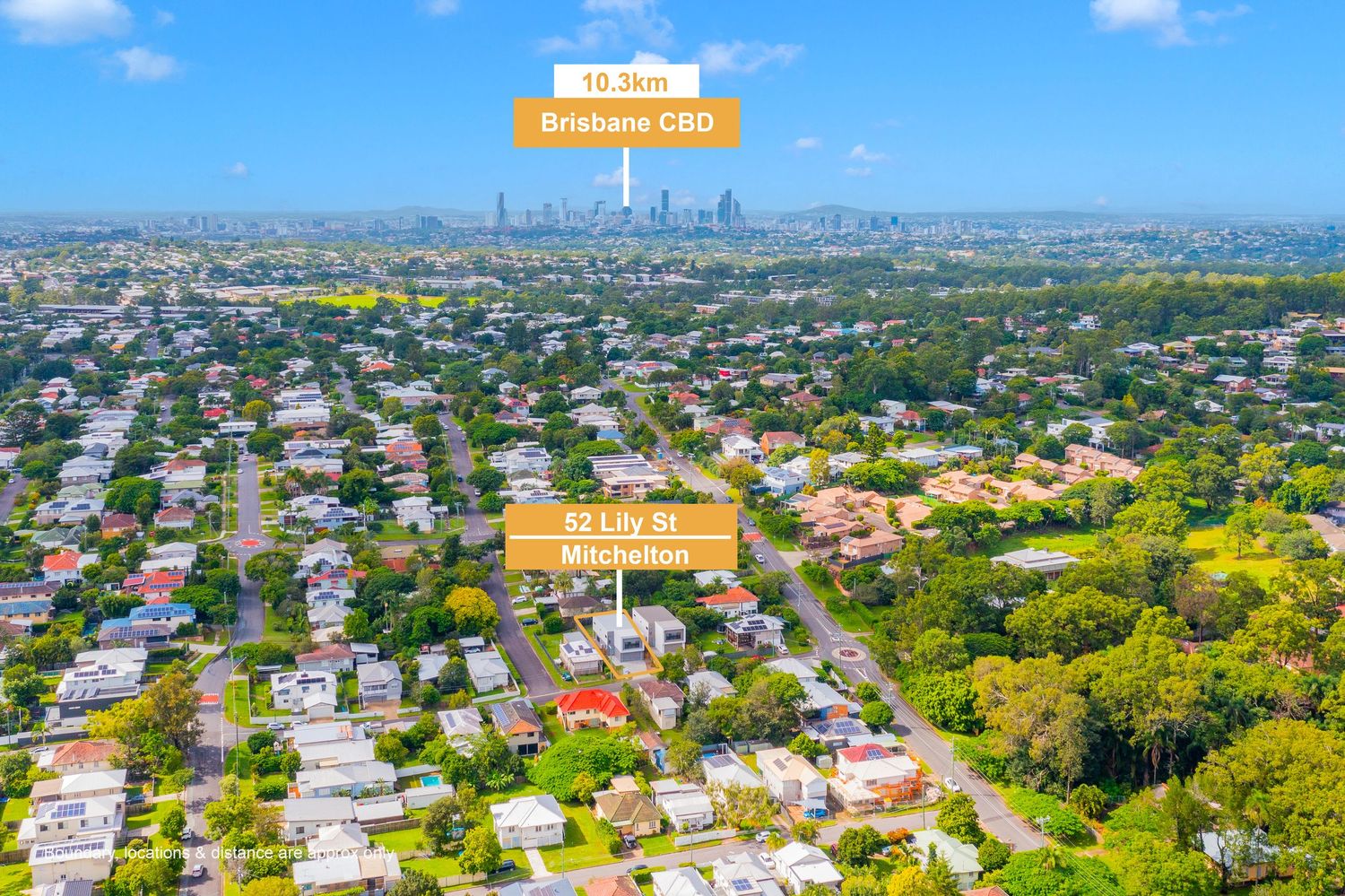
Aerial view of Brisbane suburb showing a highlighted property on Lily St, approximately 10.16km from Brisbane CBD.
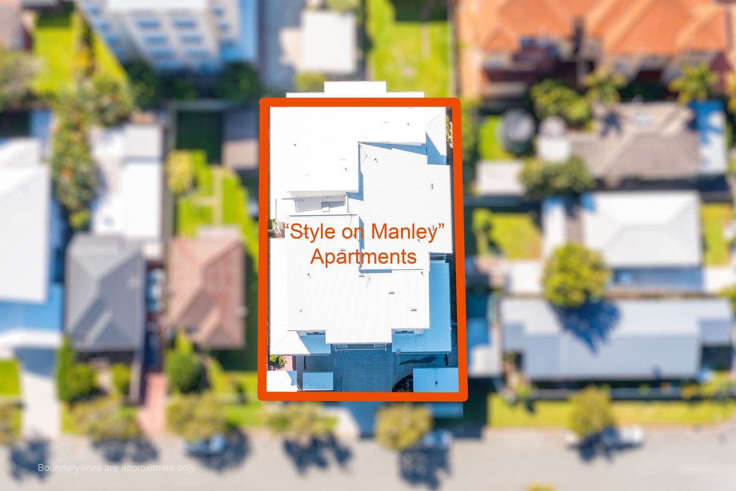
Aerial overhead view of Style on Manley Apartments building highlighted with an orange border in a suburban street.
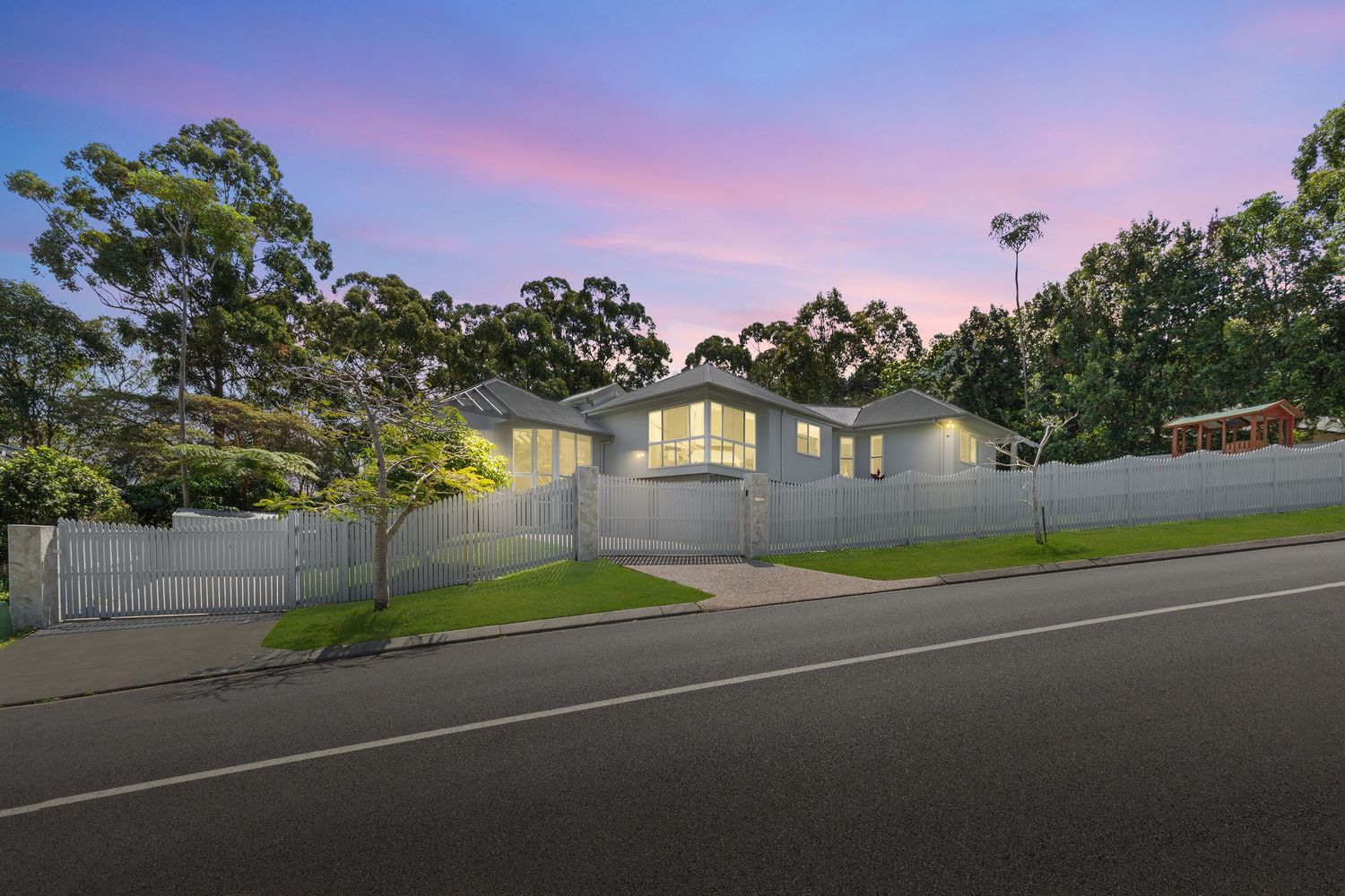
Twilight street view of a modern white rendered home with double garage and manicured front lawn.
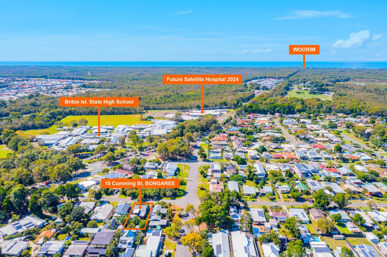
Aerial view of Bongaree property near Bribie Island State High School and future Bribie Satellite Hospital 2026.
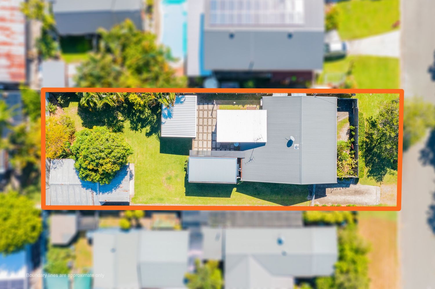
Top-down aerial view of a residential property with orange boundary outline showing land size and layout.
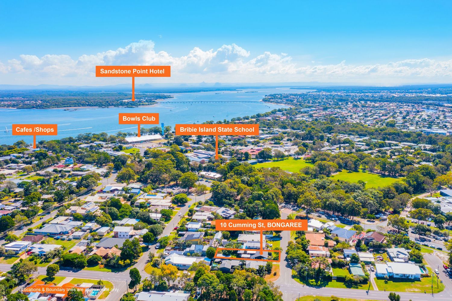
Aerial view of Bongaree home near Sandstone Point Hotel, Bowls Club, and Bribie Island State School.
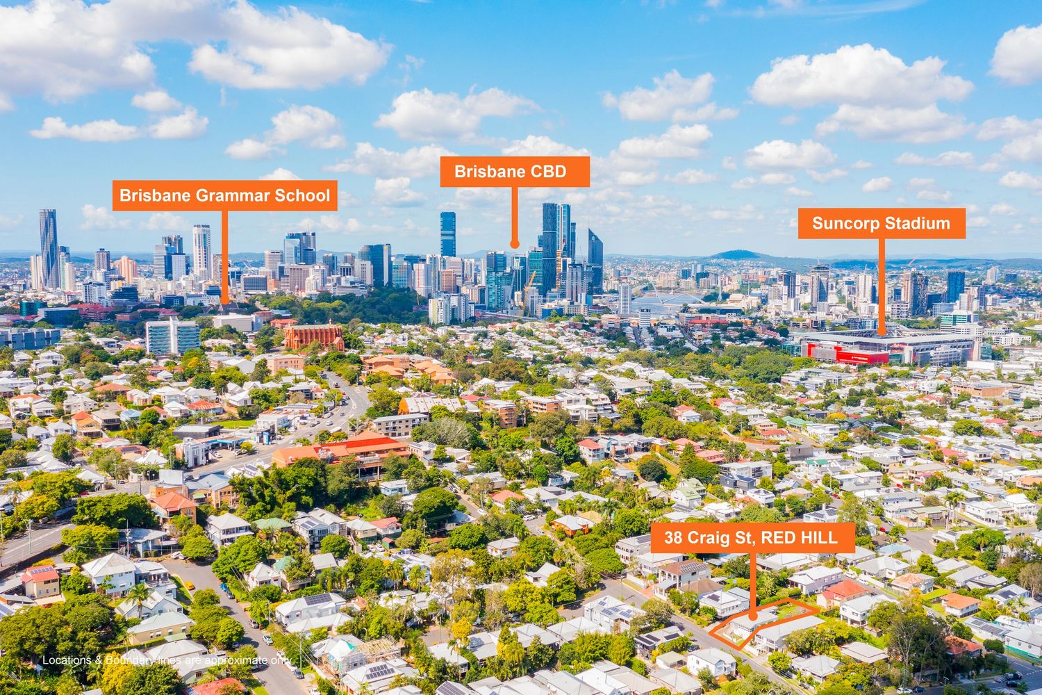
Aerial view of Red Hill property with Brisbane CBD, Brisbane Grammar School, and Suncorp Stadium visible.
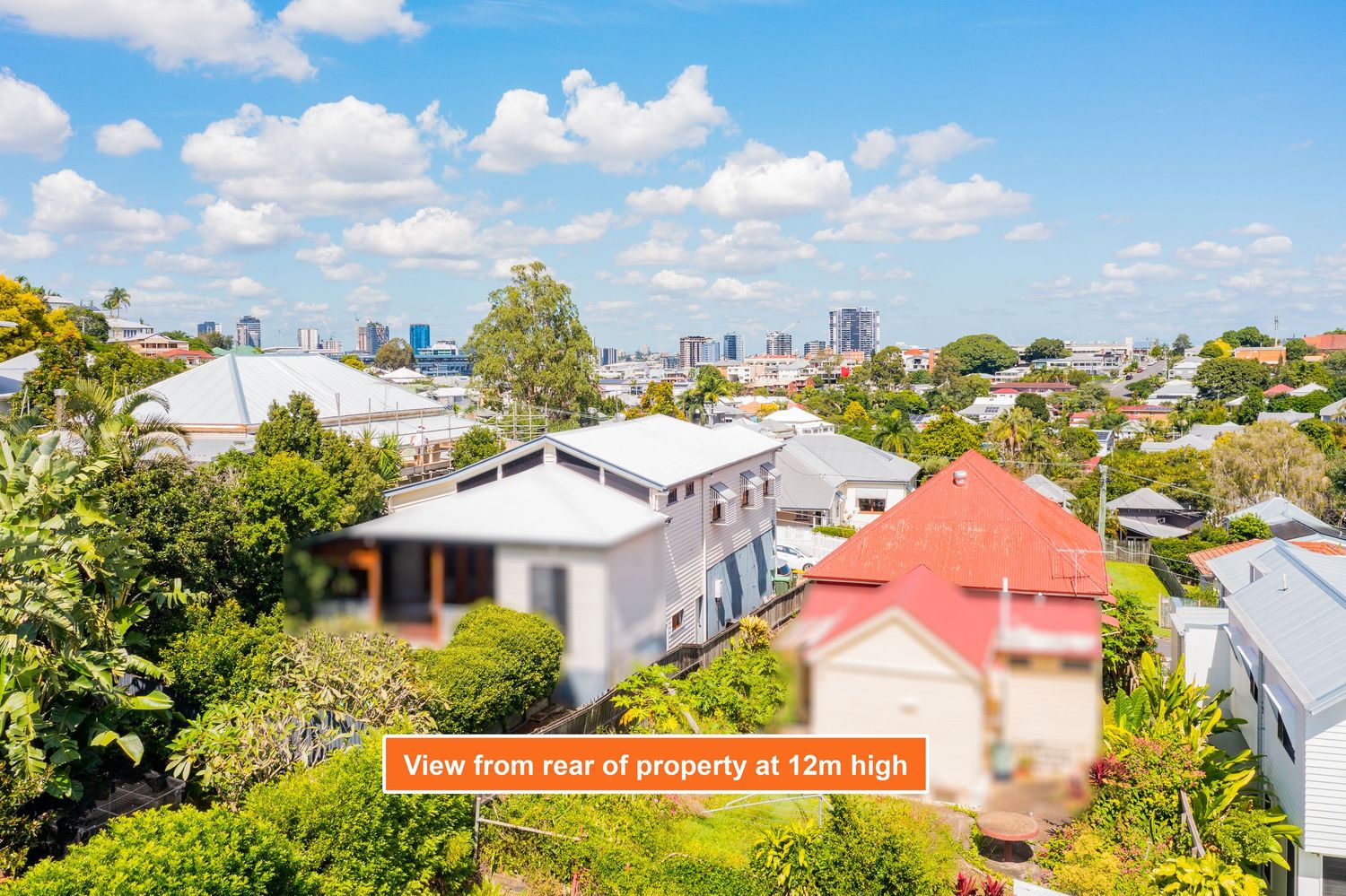
View from rear of Red Hill property at 12 metres high showing Brisbane CBD skyline in the background.
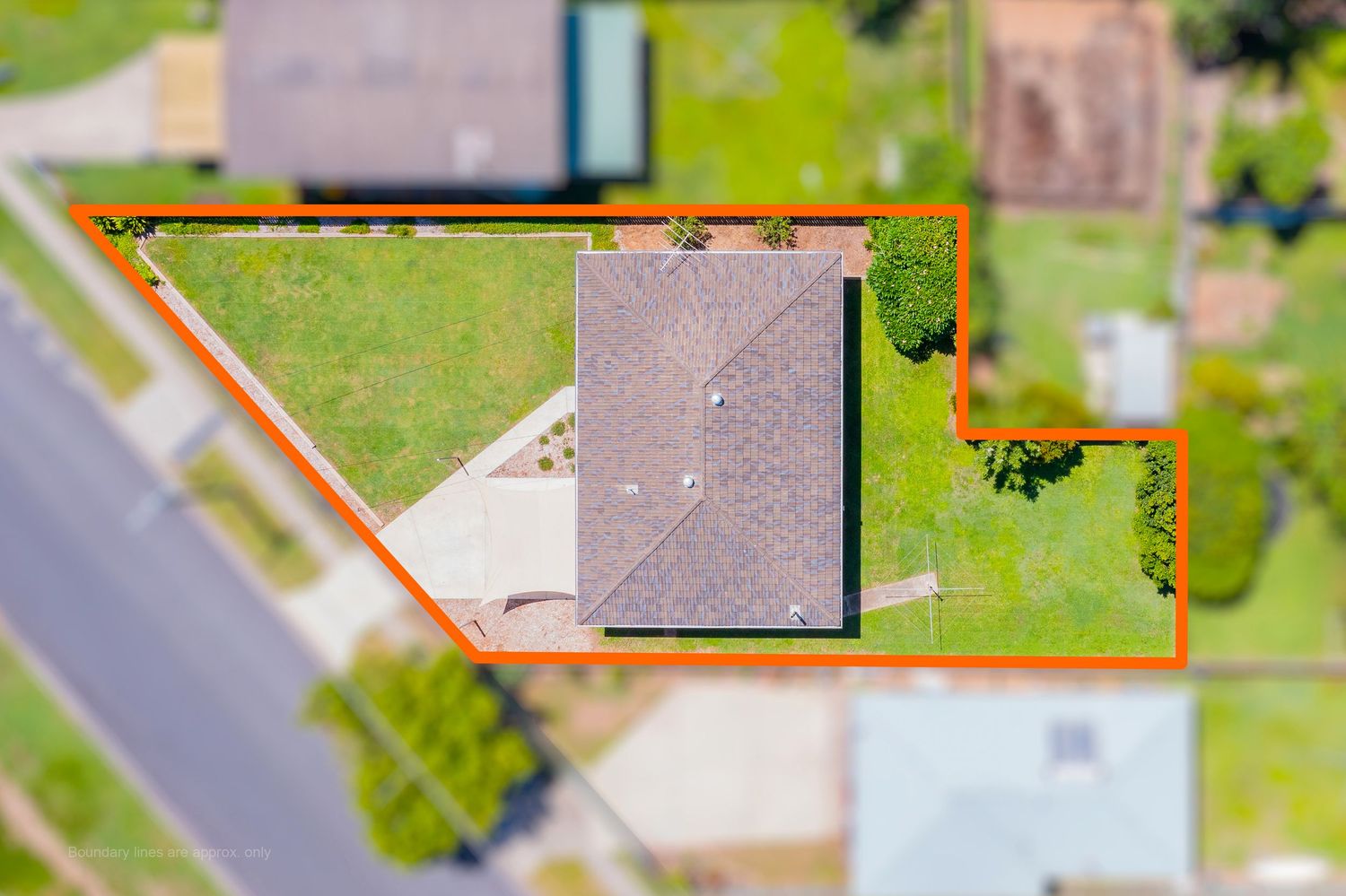
Top-down aerial view of a corner residential block with orange boundary outline highlighting the land size.
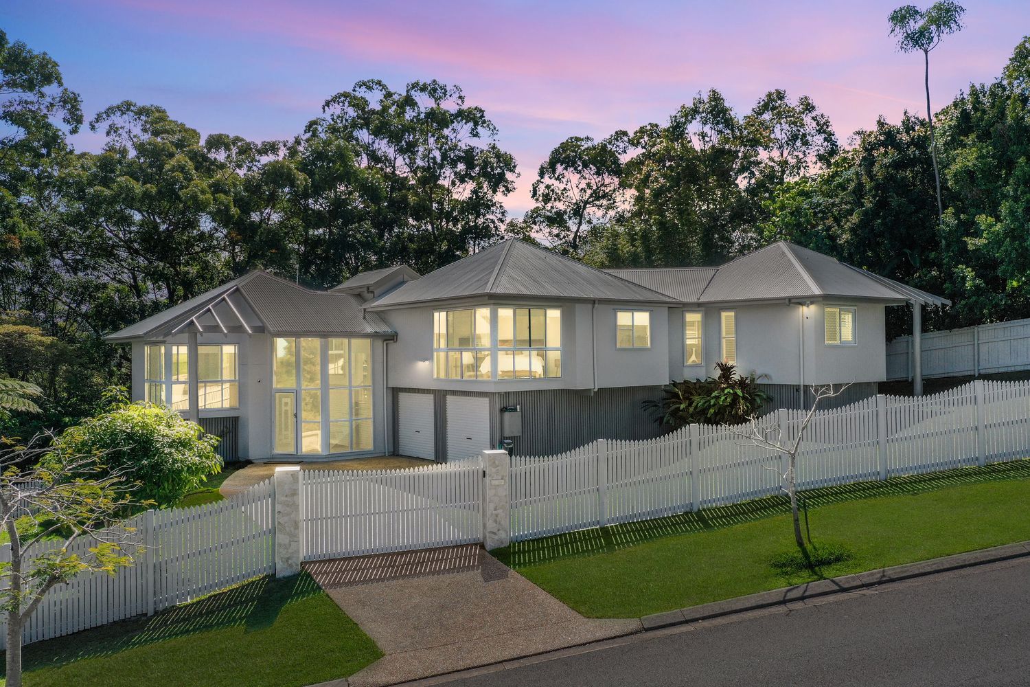
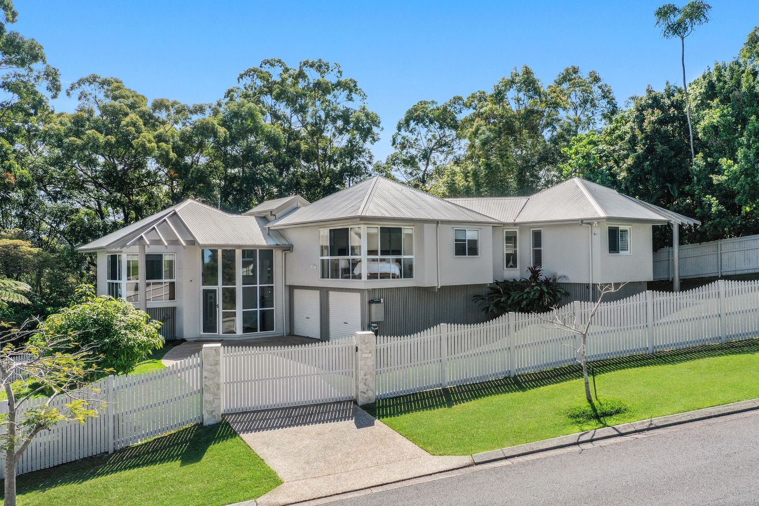
Stunning white rendered home with gabled roof, white picket fence, and lush garden surrounds photographed at dusk.
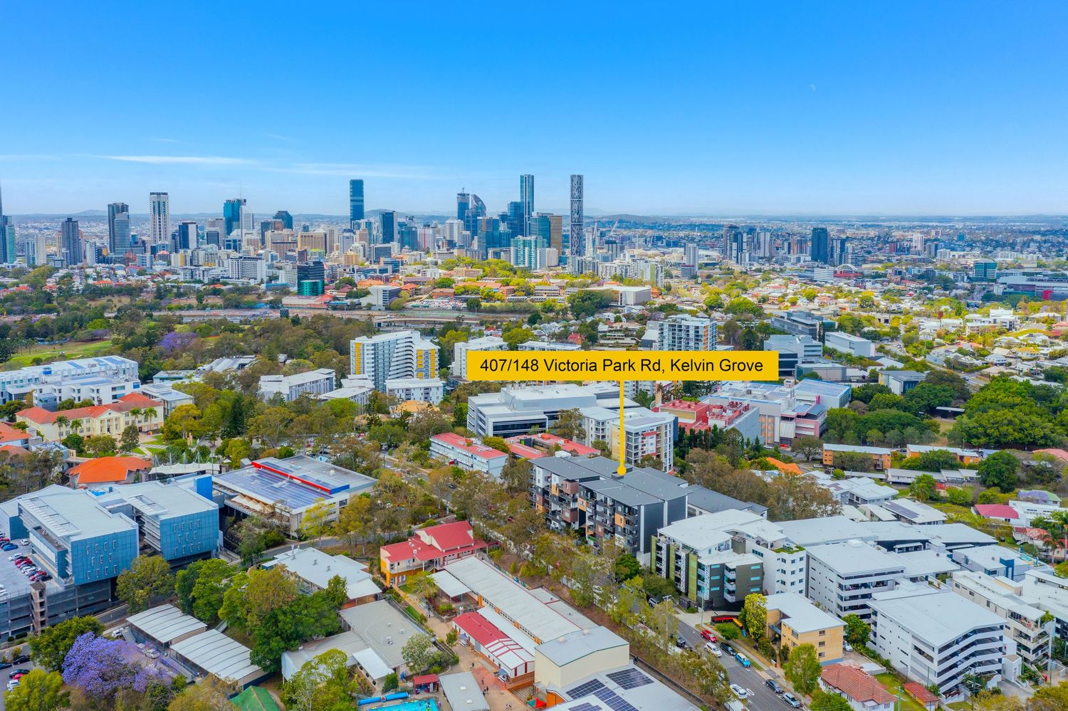
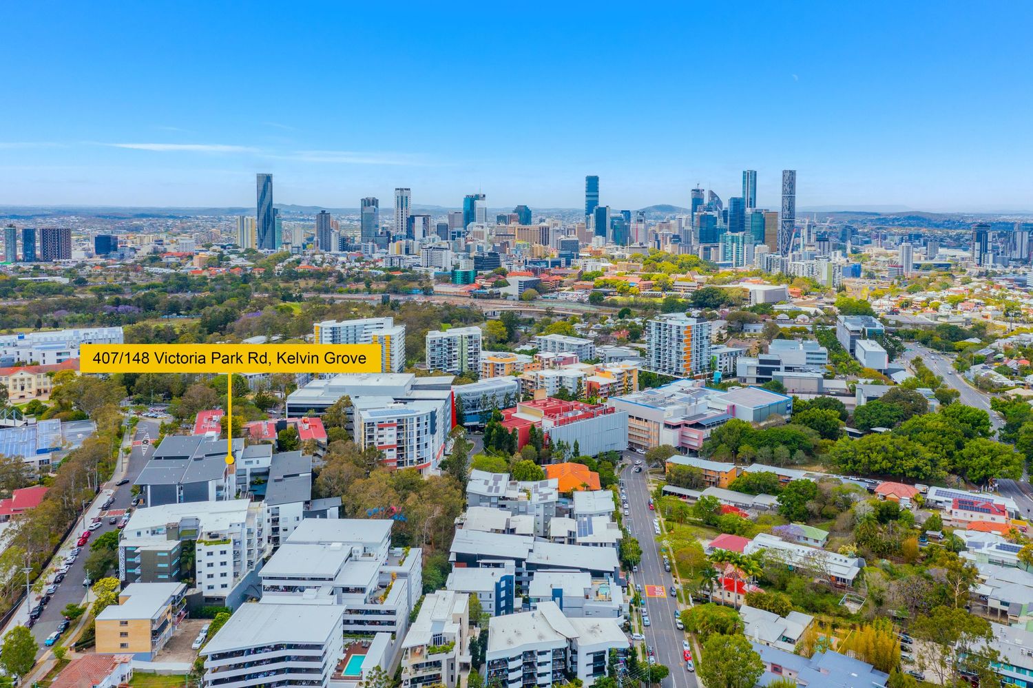
Aerial view of Victoria Park Rd Kelvin Grove with Brisbane CBD skyline backdrop and jacaranda trees.
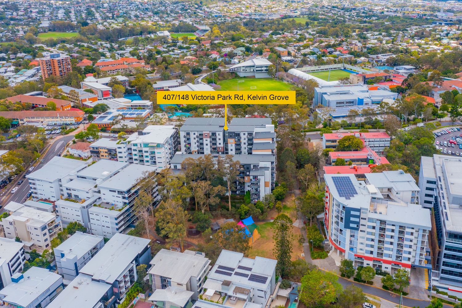
Bird's eye view of Victoria Park Rd Kelvin Grove showing surrounding suburbs and Brisbane city skyline.
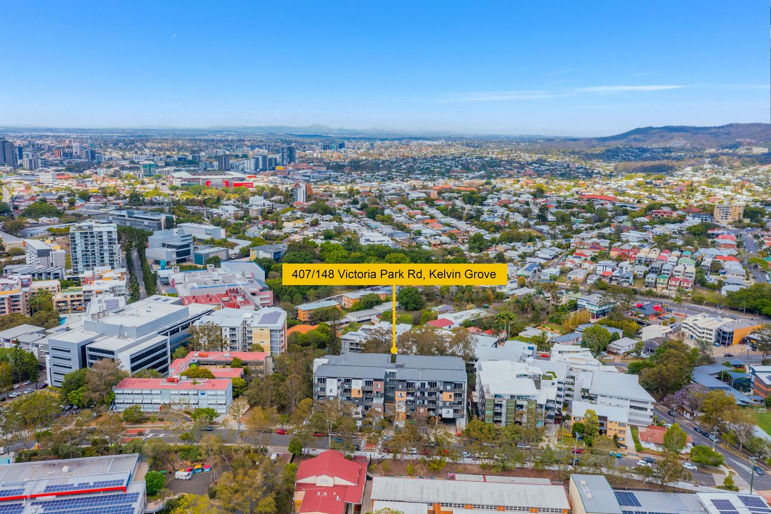
Aerial view of Victoria Park Rd Kelvin Grove surrounded by modern apartment complexes near Brisbane CBD.
Wide aerial view of Victoria Park Rd Kelvin Grove showcasing the property location and Brisbane surrounds.
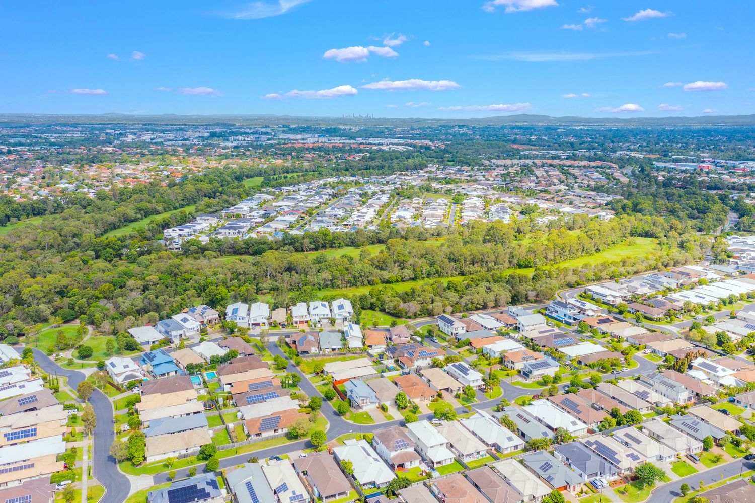
Aerial view of a suburban residential neighborhood with tree-lined streets and parklands under blue sky.
White rendered family home with gabled roof, white picket fence, and tropical garden setting in bright daylight.
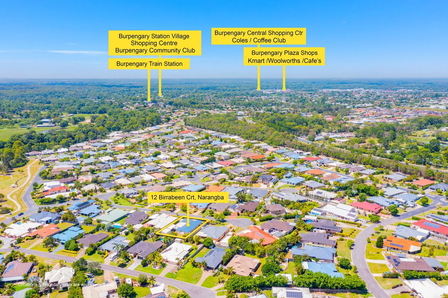
Aerial view of home in Narangba highlighting proximity to Burpengary train station and local shopping centres.
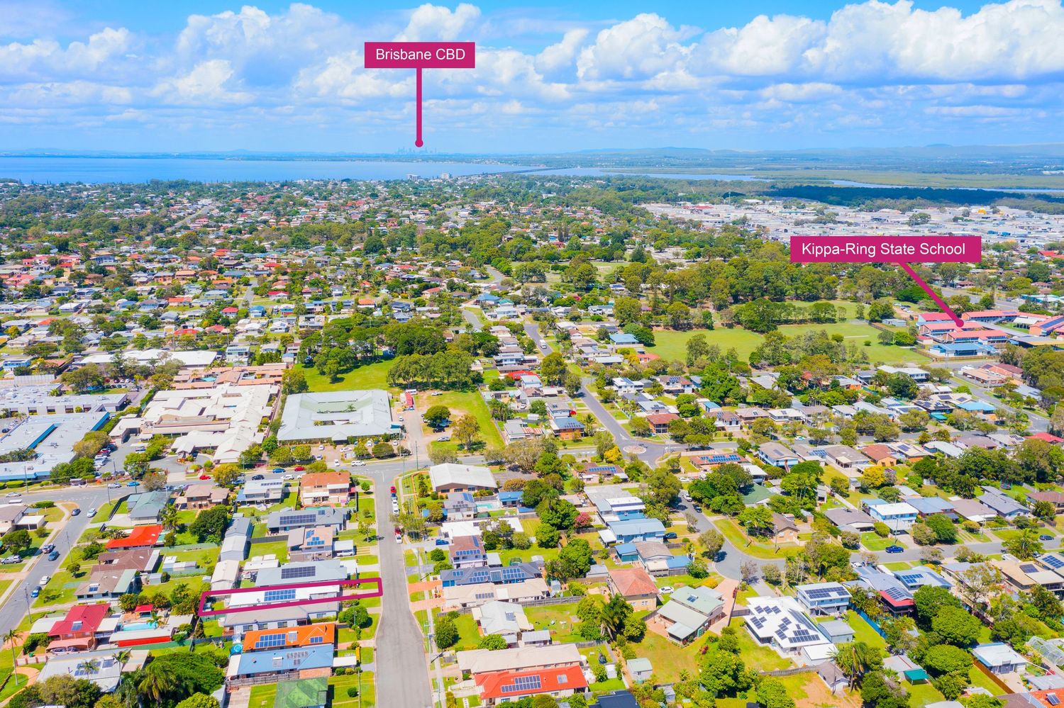
Aerial view showing property location relative to Brisbane CBD and Kippa-Ring State School under clear blue sky.
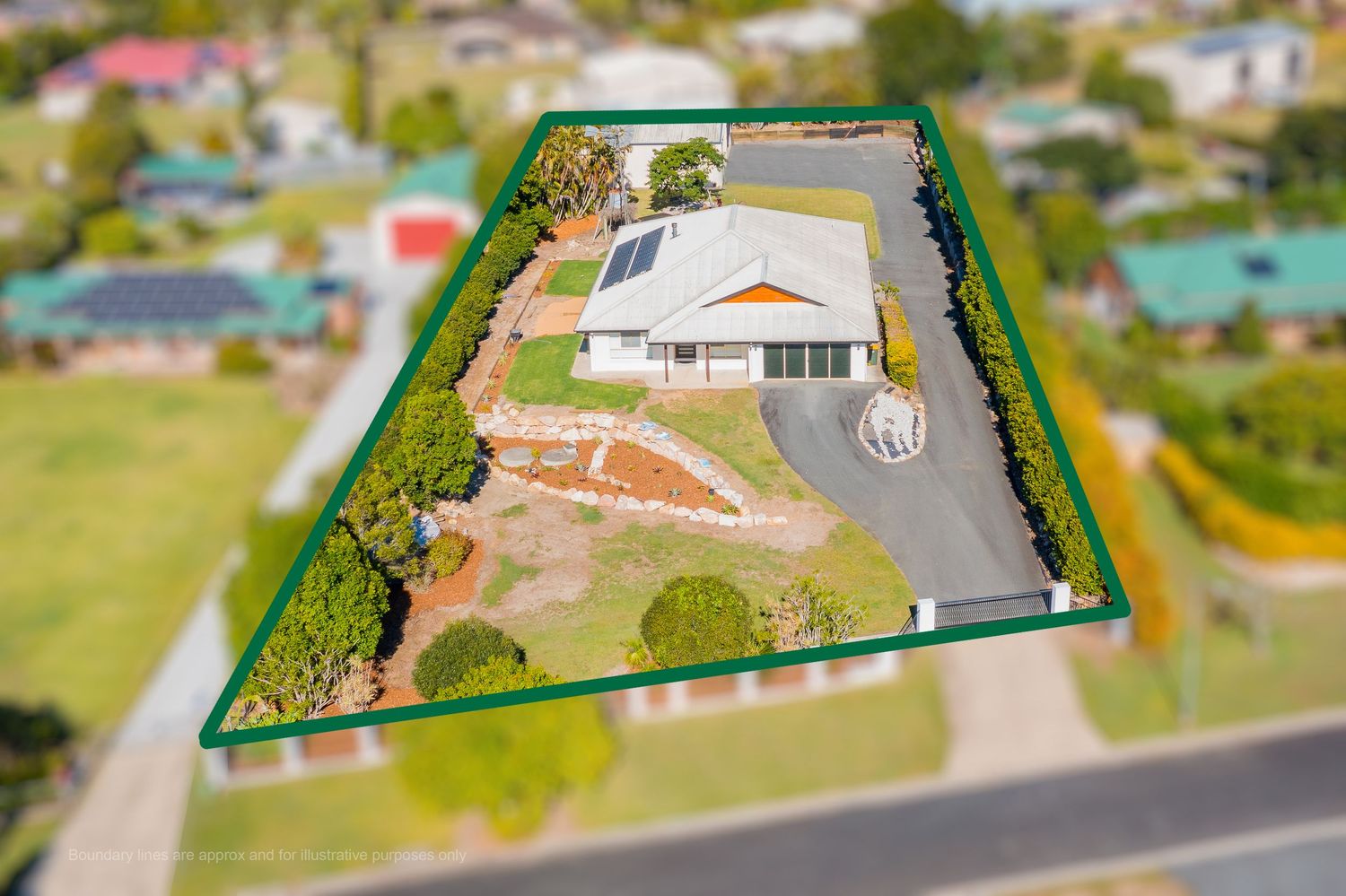
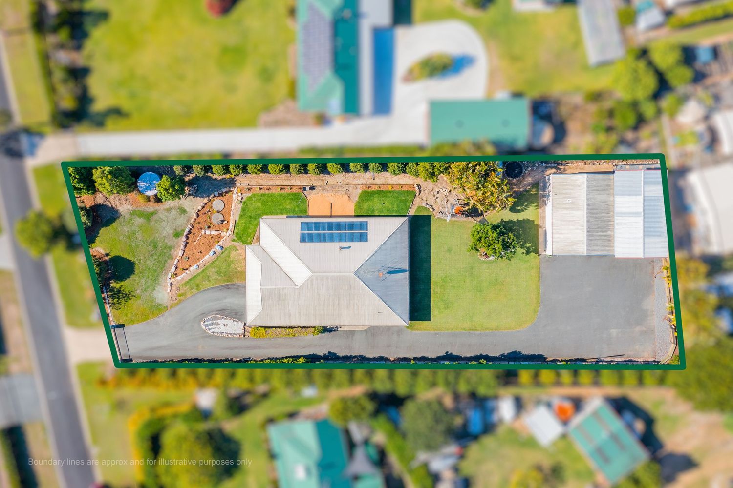
Aerial tilt-shift view of a single-story home on a large corner block with circular driveway and solar panels.
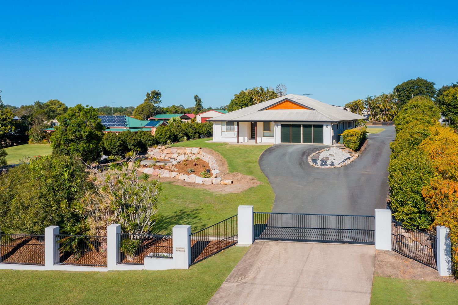
Single-story brick home with double garage, manicured lawns, and landscaped gardens behind white fenced entry in Queensland.
Aerial view of single-story home with solar panels, circular driveway, and well-maintained gardens on a suburban block.
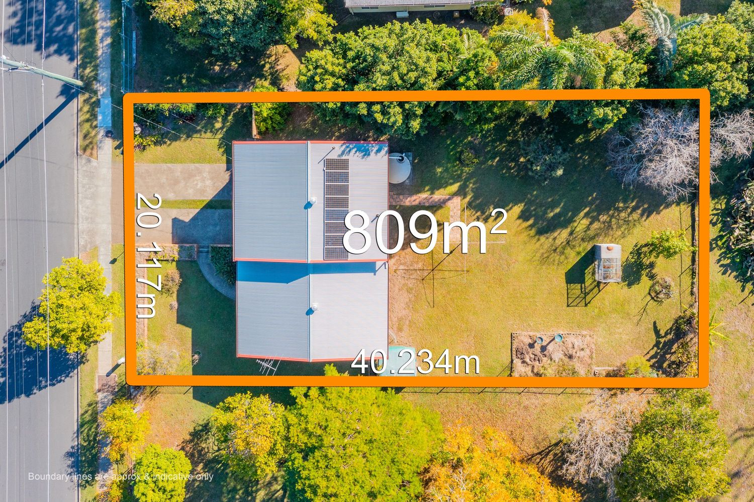
Aerial view showing 809m² property block measuring 20.17m x 40.234m with single-story home in Queensland suburb.
Aerial coastal view of Dunoon Bay suburb with Glass House Mountains visible and waterfront location highlighted.
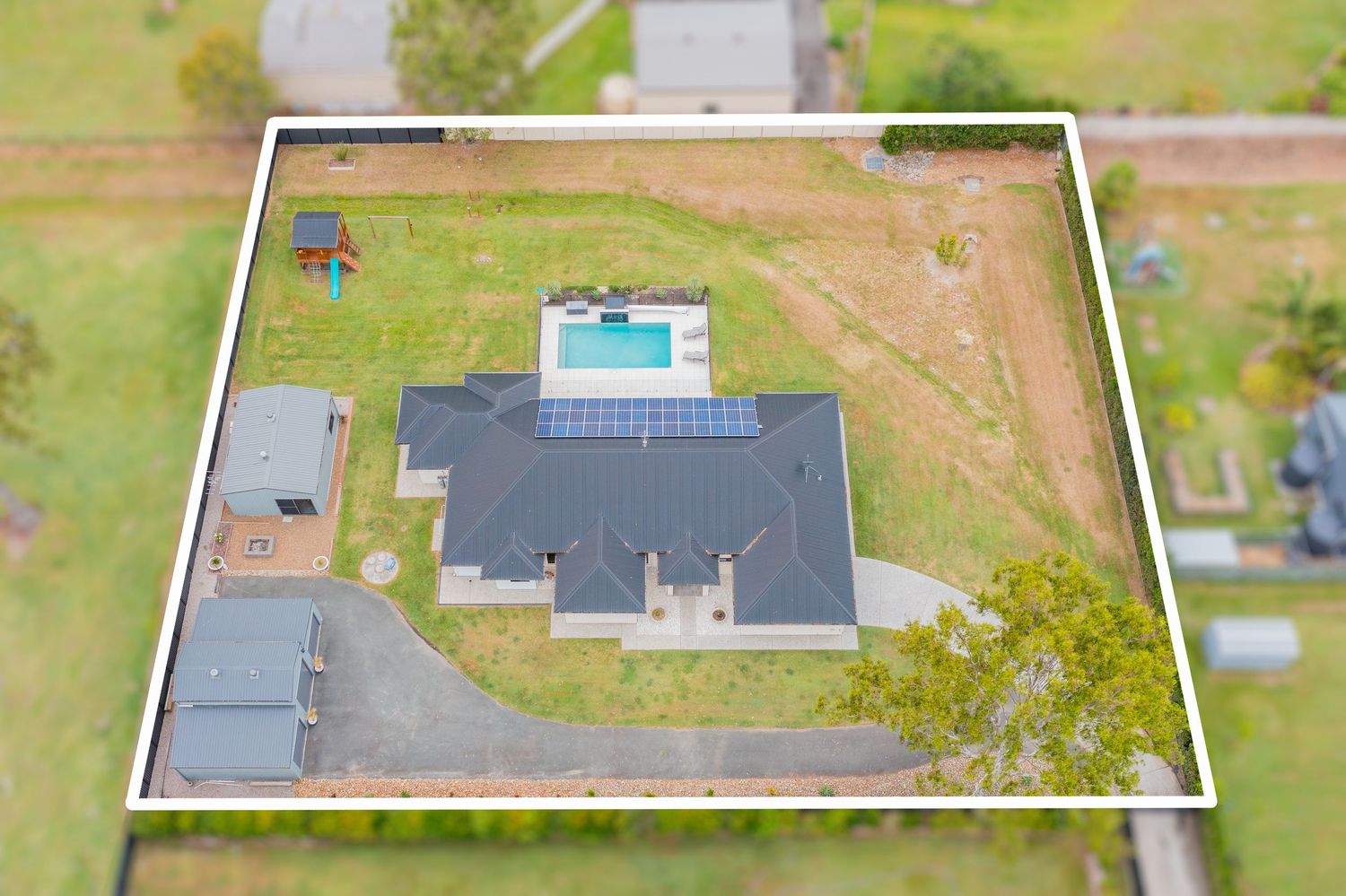
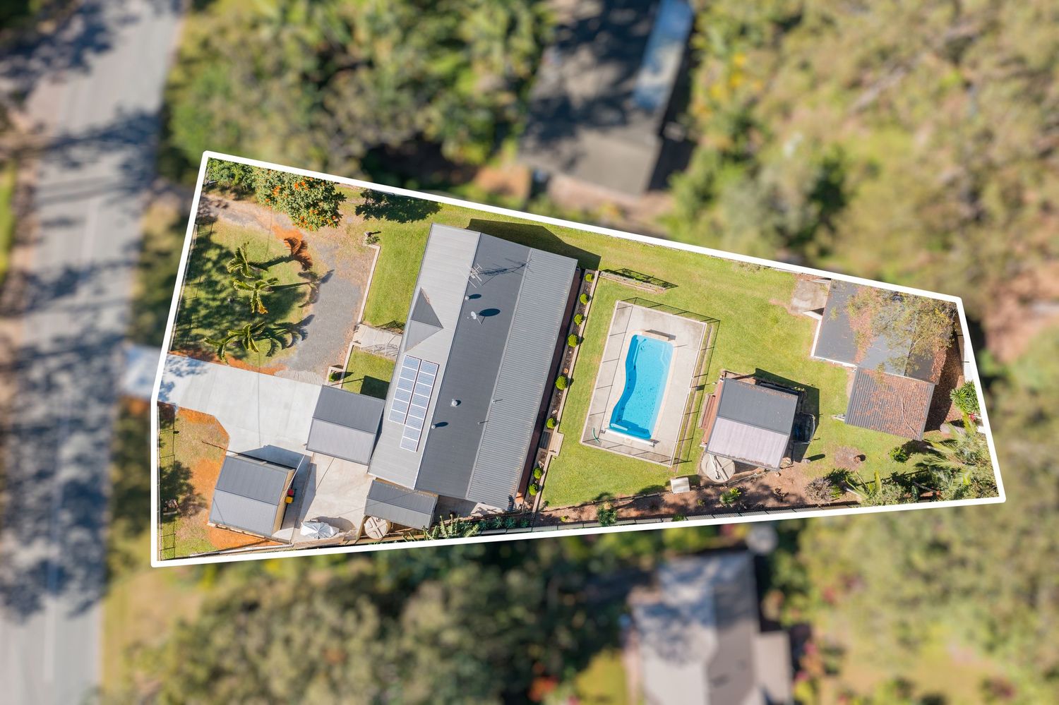
Aerial view of large residential property featuring inground pool, solar panels, and spacious lawns within white boundary.
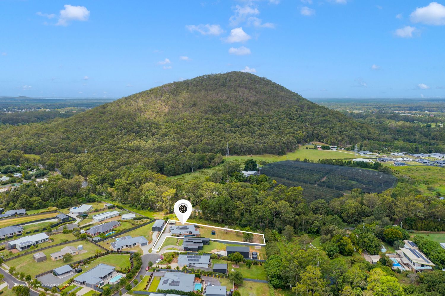
Aerial view of residential property near Glass House Mountains with lush greenery and mountain backdrop in Queensland.
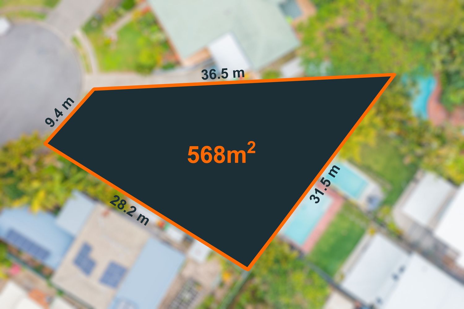
Aerial view of triangular 568m² vacant land parcel with dimensions 36.5m, 31.5m, 28.2m, and 9.4m sides.
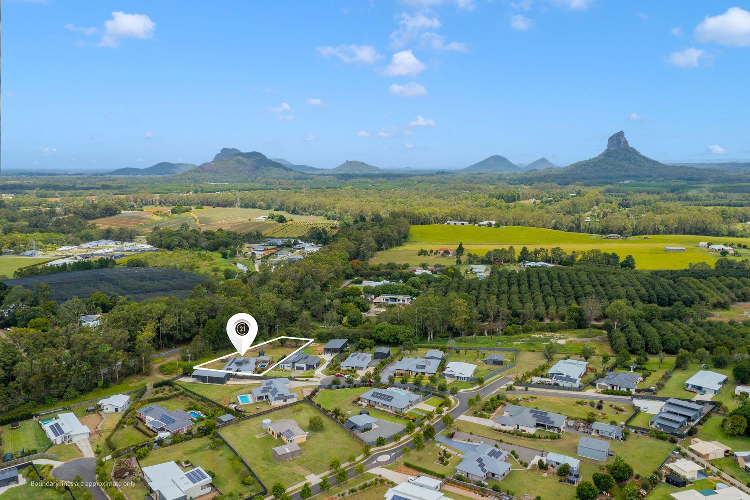
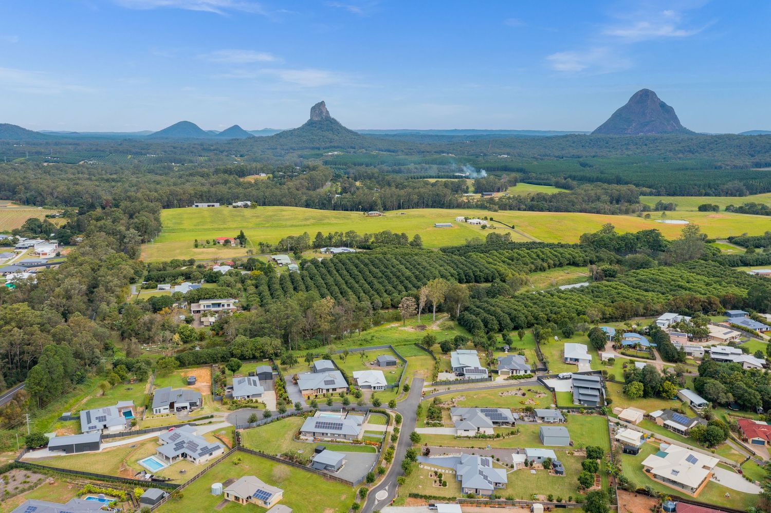
Aerial view of Queensland property with stunning Glass House Mountains panorama, farmland, and residential neighborhood.
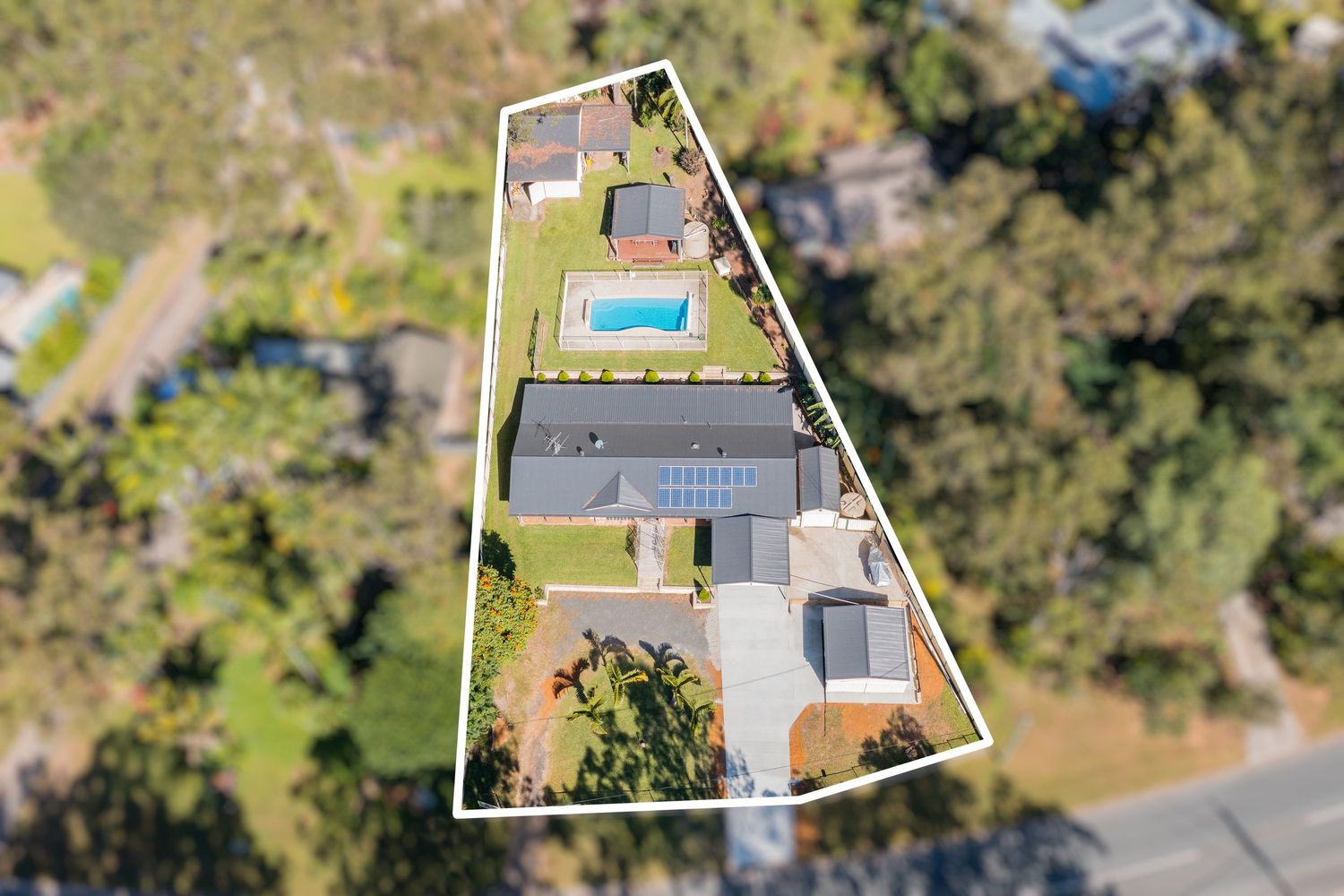
Aerial view of elongated residential property featuring inground pool, manicured lawns, and bushland surroundings.
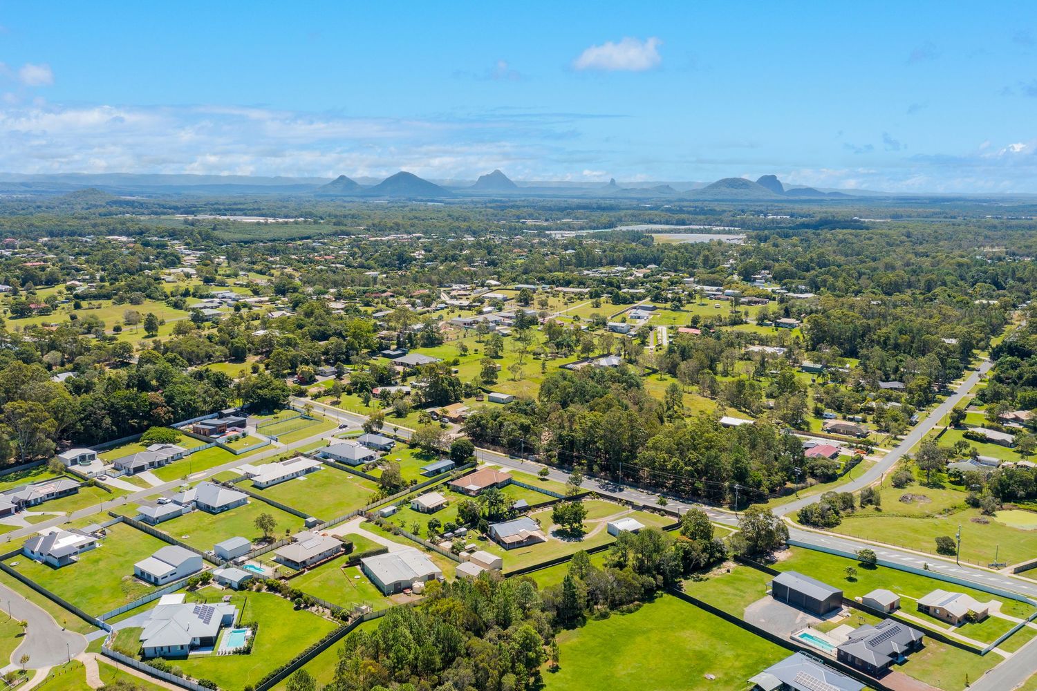
Panoramic aerial view of residential estate with iconic Glass House Mountains twin peaks backdrop in Queensland.
Aerial view of a triangular residential property with a pool, solar panels, and lush green surroundings.